

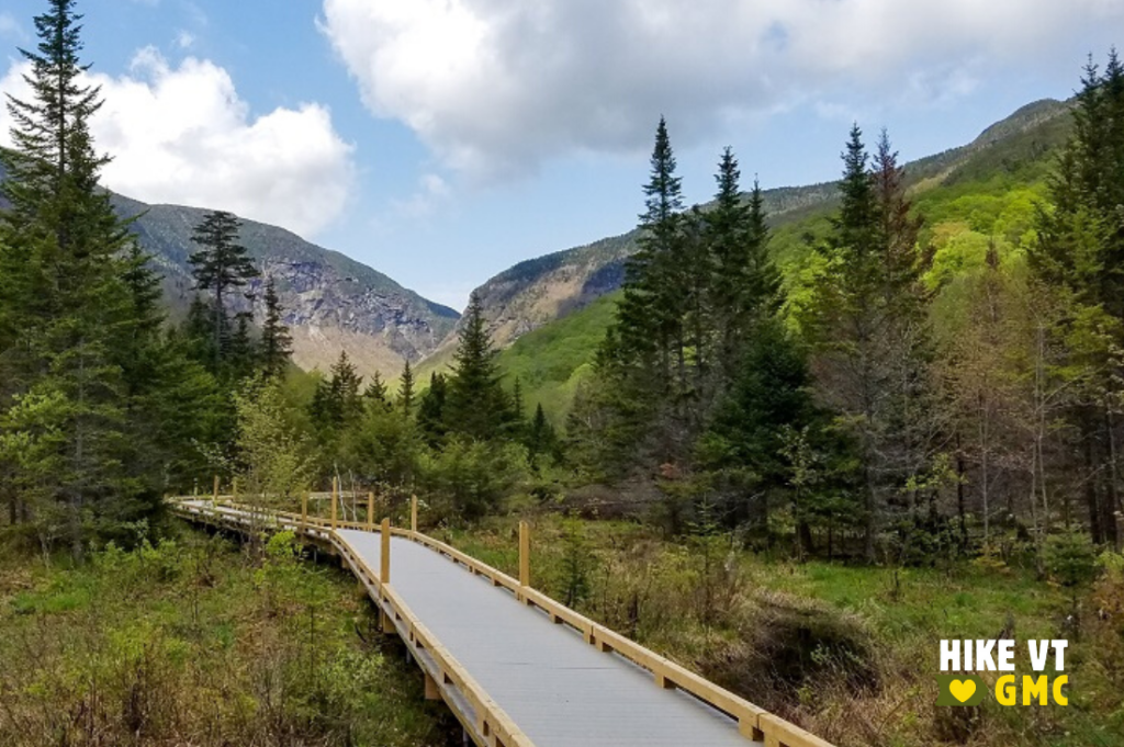
Browse our hike recommendations for trails around Vermont. Choose your next adventure based on the season, location, and ability level. Click any link for hike details. Before you head out, be sure to consult seasonal safety tips. You’ll also want to grab your camera so you can share your photos with the online hiking community (#HikeVT). Happy trails!
Summer Hikes Around Vermont
Summer hiking season kicks off Memorial Day weekend and stretches through Indigenous Peoples’ Day weekend in October. It’s a great time to get outside to explore Vermont’s mountains and soak up Vitamin D after a long winter. Check out our hiking how-to’s and refreshers before you hit the trail.
- summer hikes by location
- best hikes to kick off summer
- summer day hike recommendations
- kid-friendly hikes for summer
- alternative hikes to popular peaks in summer
- beginner overnight hikes for summer
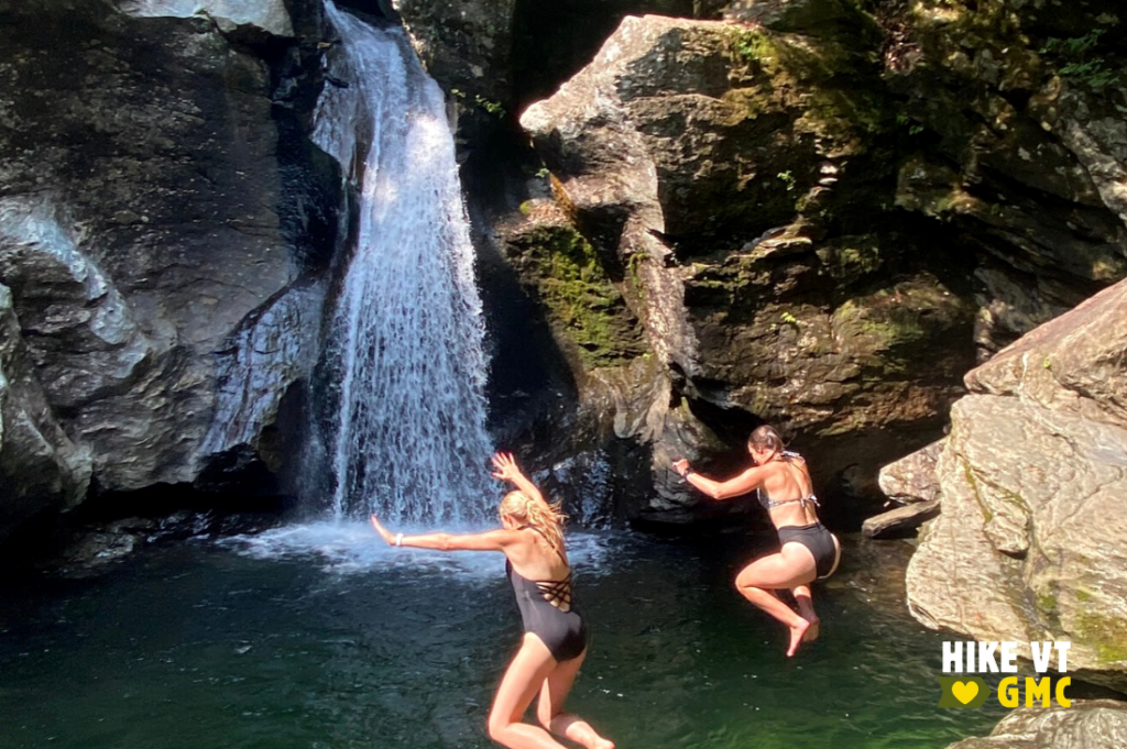
- summer hikes to swimming spots
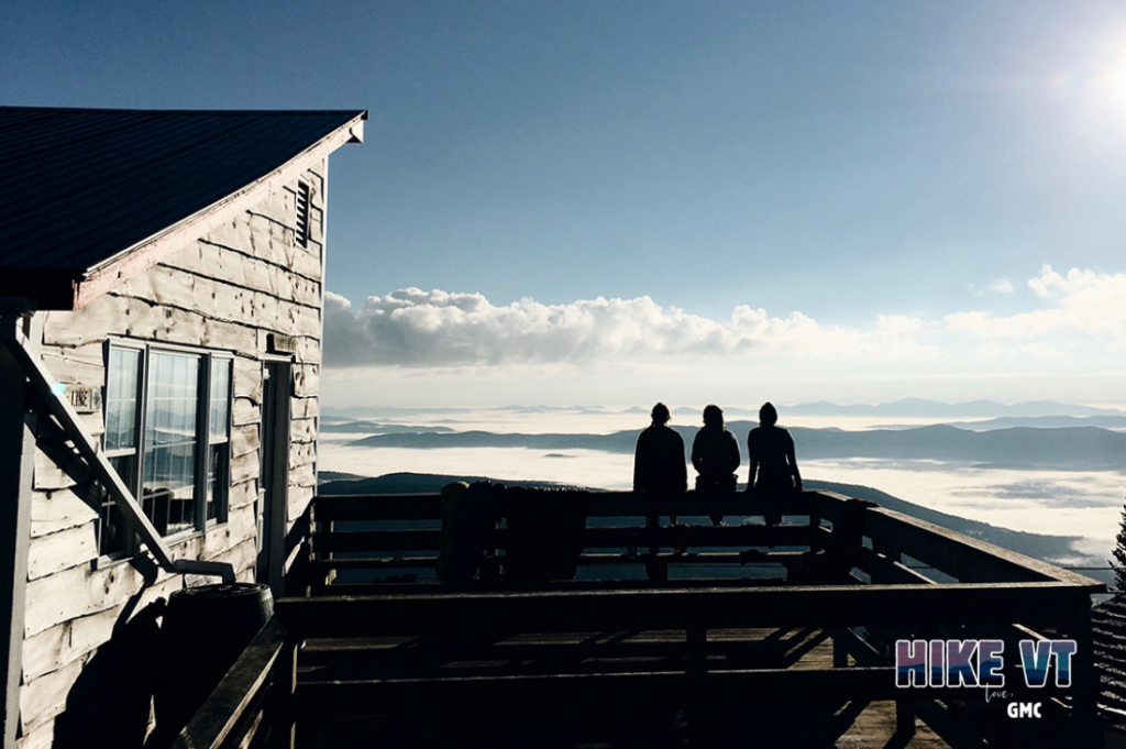
- summer hikes with a sunrise view
- summer hikes to waterfalls
- Stowe area hikes
Mud Season Hikes Around Vermont
Mud season begins with the snowmelt — typically in late March or early April — and lasts through early June. This thawing that occurs between winter and spring causes a ton of mud.Traffic along these muddy trails can cause a lot of damage to the trails and forest itself, so we’ve gathered approved routes to keep you active through Vermont’s fifth season. Please be aware of muddy and undriveable conditions on many dirt roads this year, and check driving directions ahead of time. Learn more about navigating mud season.
- scenic hikes suitable for mud season
- high-mileage hikes suitable for mud season
- mud season alternatives to popular peaks
- mud season hikes to waterways
- accessible hikes to try during mud season
- day hikes suitable for mud season
- alternative hikes to Camel’s Hump
- mud season hikes by location
Winter Hikes Around Vermont
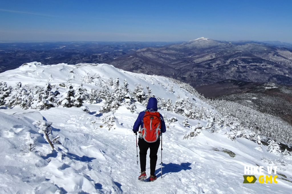
Winter hiking starts when daylight hours wane, ice and snow coat the trails and summits, and winter parking becomes a real consideration. In early winter, be prepared for variable conditions and thin snow cover with more mud and ice. Check out our winter hiking guide for safety and preparedness tips before you hit the trails.
- easy winter hikes
- moderate winter hikes
- moderate to difficult winter hikes
- difficult hikes to try in winter
- difficult winter hikes above 4,000′
- recommended day hikes for winter
Fall Hikes Around Vermont
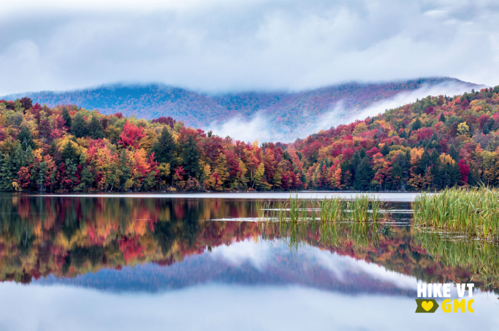
Vermont comes alive in the fall, thanks to its iconic fall foliage. What better way to explore the leaves than from a trail or mountaintop? To find your perfect fall hike, browse below, or contact the hike information specialists at GMC’s Visitor Center in Waterbury Center, VT (just down the road from Stowe on scenic Route 100). Have limited time, or new to hiking? Join a guided foliage hike on GMC’s Short Trail, a 0.7-mile loop behind the visitor center.
Follow our fall safety tips for a happy hike.
- good hikes for hunting season
- fall hike recommendations by location
- recommended day hikes for fall
- leaf peeping hikes in the Northeast Kingdom
- leaf peeping hikes in the Stowe area
- alternatives to popular leaf-peeping hikes
- leaf peeping hikes in the Killington area
- leaf peeping in the Manchester area
- people’s choice foliage hikes
- Stick Season hikes
Accessible Hikes Around Vermont
There are plenty of level, shorter, and accessible hikes throughout Vermont. Browse this collection of recommendations, suited for those who might need a gentler outing.
Make sure you plan ahead:
- Many roads used to access the Long Trail are seasonal. Check the status of specific roads ahead of time using this general map of Vermont roads or this list of US Forest Service Roads.
- Guidebooks and maps are available for purchase at GMC’s Visitor Center, GMC’s online store, and in most Vermont bookstores and outdoor gear retailers. Many maps have digital versions.
More HikeVT trails to explore, by season:
-
- Winter recommendations: easy hikes; moderate hikes; moderate to difficult hikes; difficult hikes; and difficult hikes above 4,000 feet; day hikes
- Mud season recommendations: scenic hikes; high-mileage hikes; alternatives to popular peaks; hikes to waterways; accessible hikes; day hikes
- Summer recommendations: by location; first hikes; day hikes; kid-friendly hikes; alternatives to popular peaks; beginner overnight hikes; hikes to swimming spots; hikes with a sunrise view; hikes to waterfalls;
- Fall recommendations: by location; day hikes; leaf peeping in the Northeast Kingdom; leaf peeping in the Stowe area; alternatives to popular leaf-peeping hikes; leaf peeping in the Killington area; leaf peeping in the Manchester area; people’s choice foliage hikes;
Maps:
Questions? Our visitor center staff is here to assist you. Call (802) 244-7037 or email [email protected].


