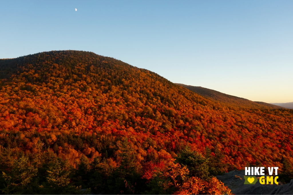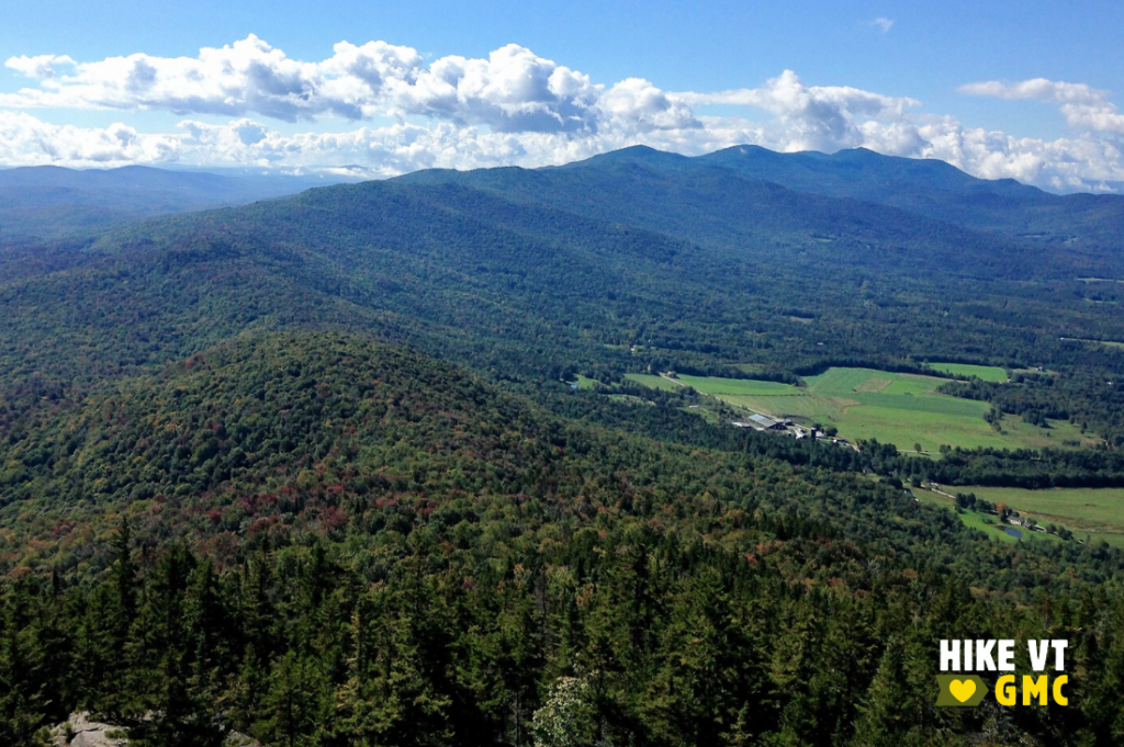
Let’s HikeVT! This week, we’re exploring the best foliage hikes in the Stowe area. This popular hiking destination offers a range of trails with amazing leaf peeping opportunities in the mountains. Check out our fall hiking safety tips, grab your camera to share your photos online (#HikeVT), and have fun hiking out there!
- Mt. Elmore, Morrisville
- Stowe Pinnacle, Stowe
- Elephant’s Head, Stowe
- Barnes Camp Loop, Stowe
- Smuggler’s Notch Boardwalk, Stowe — Easy, Accessible

Elmore Mountain, Morrisville — Moderate
» 4.4 mi round trip, approx. 1,438 ft elevation gain
Elmore is a great moderate hike option. The fire tower at the top provides the perfect place to view the fall foliage found within the Worcester Range. A loop can be hiked by following State Park Road from the trailhead for 0.3 mi to the junction with the Ridge Trail. Follow the more difficult Ridge Trail to the summit of Elmore. After soaking in the views from the top of the tower, follow the more moderate Fire Tower Trail back to the trailhead.
Driving Directions: From Stowe, take VT-100 north and continue for 8.1 miles. Turn right onto Historic VT-100 and continue for 0.7 miles, then stay straight onto Upper Main Street. Continue straight onto VT-12 south (Elmore Road). The park is on the right after 3.6 miles. Map it.
Stowe Pinnacle, Stowe — Moderate
» 3.6 mi round trip, approx. 1,476 ft elevation gain
Although this trail is extremely popular and can be crowded, it cannot be excluded from a list of foliage hikes. Follow the Stowe Pinnacle Trail as it steadily climbs through the woods past junctions with the Pinnacle Meadow Trail and then the Ridge Trail to the open, rocky outcrop known as Stowe Pinnacle. At this viewpoint, you feel as though you are immersed in the beautiful fall colors. Some of the best views in Vermont can be found here. Be diligent to stay on the Stowe Pinnacle Trail as you head back to the trailhead.
Due to the busy nature of this trail, try visiting on a weekday, or around sunset. The lighting near the end of the day cannot be beat!
Driving Directions: From the intersection of Route-108 and 100 in Stowe, head south on VT-100. Turn left onto Gold Brook Road. Bear left at the four-way intersection to stay on Gold Brook Road. At the next junction, continue straight onto Stowe Hollow Road, then right onto Upper Hollow Road to the parking area on the left. Map it.
Elephant’s Head via Long Trail North, Stowe — Difficult
» 6 mi round trip, approx. 1,254 ft elevation gain
To reach Elephant’s Head Cliff, follow the Long Trail North as it crosses a snow cat bridge behind Barnes Camp and ascends past the trail kiosk into the woods. Follow the white blazes as the trail steadily climbs almost 3 miles to the spur trail for the cliff. Take the spur trail 0.1 mi to the top of Elephant’s Head where you will find sweeping views through Smuggler’s Notch. This is a great place to get photos of the foliage through the notch.
Driving Directions: From Stowe: From the intersection of VT-100 and VT-108 at the center of town, head north on VT-108 for 7.7 miles. Barnes Camp will be your next right after passing under the Stowe Mountain Resort cross-street gondola. For Elephant’s Head, park in Stowe Resort Parking Lot D1. Across the street from Barnes Camp on 108, you will see a Stowe Resort entrance sign, with a hiker parking sign hanging below it. Turn into the resort and take an immediate left into the parking area. Map it.

Barnes Camp Loop, Stowe — Moderate
» 1.5 mi round trip, approx. 360 ft elevation gain
The Barnes Camp Loop Trail starts on the Long Trail at the boardwalk at the northern end of the parking lot. Proceed along the boardwalk where you will find amazing views of foliage through the notch. Be sure to then continue into the woods on the white-blazed Long Trail. In 0.3 mi, you will come to an intersection for Long Trail South and Picnic Area. Turn right toward the picnic area, now following blue blazes. The trail continues for 0.3 mi to the next intersection where the Smuggler’s Notch picnic area is straight ahead 0.1 miles. To continue the Barnes Camp Loop, turn right to follow the blue blazes and descend steps to the West Branch Waterbury River, which you will cross. There is no bridge for this crossing; in high water conditions it can be difficult, although it is usually safe this time of year. After crossing the river, the trail becomes moderately steep and in 0.3 miles, you come to a junction with the Long Trail. Bear right at the junction following the sign saying LTS, Barnes Camp. Trail blazes are white now. The trail continues as a moderate descent for 0.5 mi back to Barnes Camp.
Driving Directions: From the intersection of VT-100 and VT-108 at the center Stowe, head north on VT-108 for 7.7 miles. Barnes Camp will be your next right after passing under the Stowe Mountain Resort cross-street gondola. Map it.
Smugglers’ Notch Boardwalk — Easy / Accessible
» 0.25 mi round trip, approx. 2 ft elevation gain to viewing platform
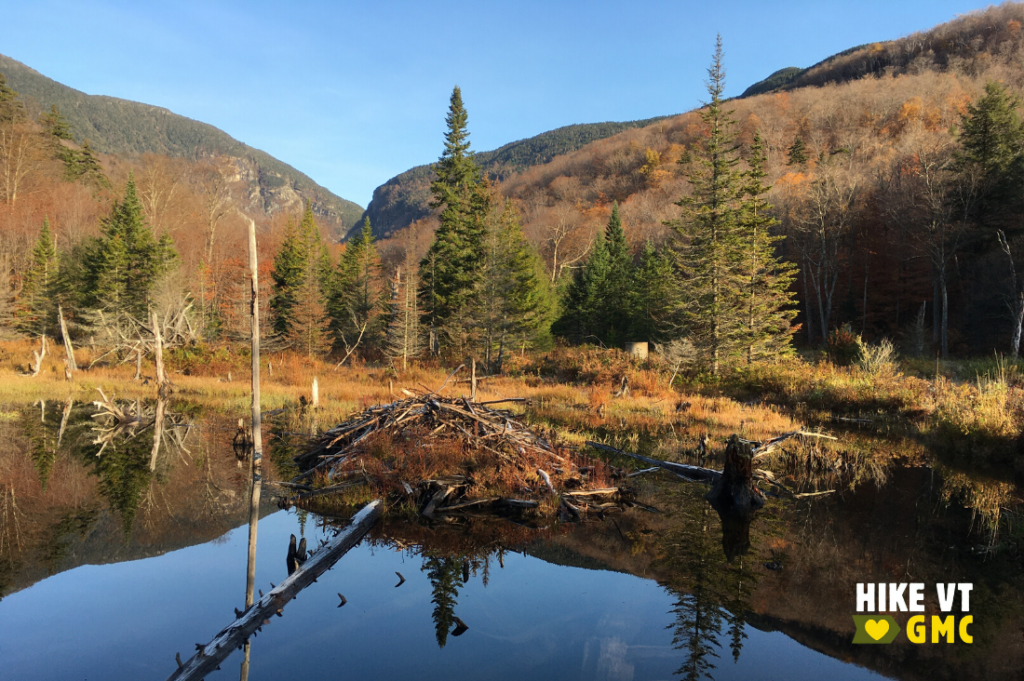
You can explore wetlands, see a beaver dam, and admire a unique view of Smugglers’ Notch from this 660-foot accessible boardwalk on the Long Trail. Several informational panels with facts about the local wildlife and geology are located along the boardwalk.
Driving Directions: From the intersection of VT-100 and VT-108 at the center of Stowe, head north on VT-108 for 7.7 miles. Barnes Camp will be your next right after passing under the Stowe Mountain Resort cross-street gondola. Map it.
Questions? Our visitor center staff is here to assist you. Call (802) 244-7037 or email [email protected].


