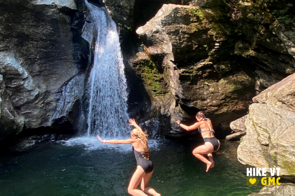
Let’s HikeVT! This week, we’re sharing the best waterfall views. Browse these hikes for access to scenic waterfalls in Vermont! Bonus: some include swimming holes. Don’t forget to share your photos online: #HikeVT!
- Gnome Stairs, Barton
- Mill Trail, Stowe
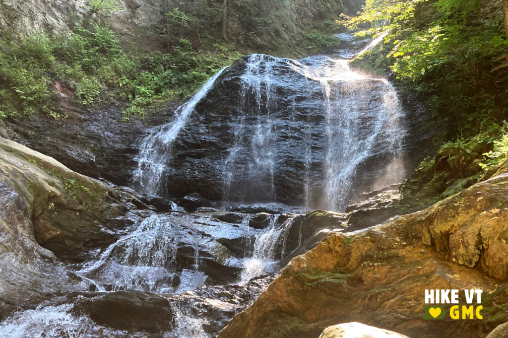
- Moss Glen Falls, Stowe
- Thundering Falls, Killington
- Lye Brook Falls, Manchester
Gnome Stairs, Barton
» 1.8 mi round trip, approx. 202 ft elevation gain
Although it is not your biggest waterfall, it is one of the more interesting ones and a great place for kids to explore. It is also a good one to do after hiking Wheeler, or Moose Mountain. Starting at the Moose Mountain/Wheeler Pond Trailhead, follow the Wheeler Pond Trail around the east side of Wheeler Pond. At the end, take the Gnome Stairs Trail to the small step-down falls where imaginations can run wild!
Driving Directions: From Barton, drive south on VT-5/Lake Street for 4.5 miles. Turn right onto Wheeler Mountain Road and continue for 1.4 miles. Turn right off the road into the parking area where the trailhead is located. Map it.

Mill Trail, Stowe
» 1.5 mi round trip, approx. 192 ft elevation gain
Managed and owned by the Stowe Land Trust, this trail provides an alternate route to Bingham Falls. It follows a wide, well-graded trail that gradually climbs to the top of the falls.
Driving Directions: From Stowe, head northwest on VT-108 (Mountain Road). Turn right on Notchbrook Road. After 0.6 miles, there is a pull-off on the left. Parking is limited here. Map it.
Moss Glen Falls, Stowe
» 0.5 mi round trip, approx. 94 ft elevation gain
Another great option for families with small children, this trail is short, and mostly flat with a short steep section at the end. On your way to the waterfall, there are many spots to stop and cool off by the shallow brook. You won’t be disappointed when you finally reach the 125-foot falls.
Driving Directions: From Stowe, head north on VT-100 for 3 miles. Take a slight right on Randolph Road. After 0.4 miles take a right on Moss Glen Falls Road. Parking will be on the right at a sharp bend in the road after 0.5 miles. The parking area is plowed as a bus turnaround in the winter. Map it.

Thundering Falls, Killington
» 1,800 ft round trip, approx. 19 ft elevation gain
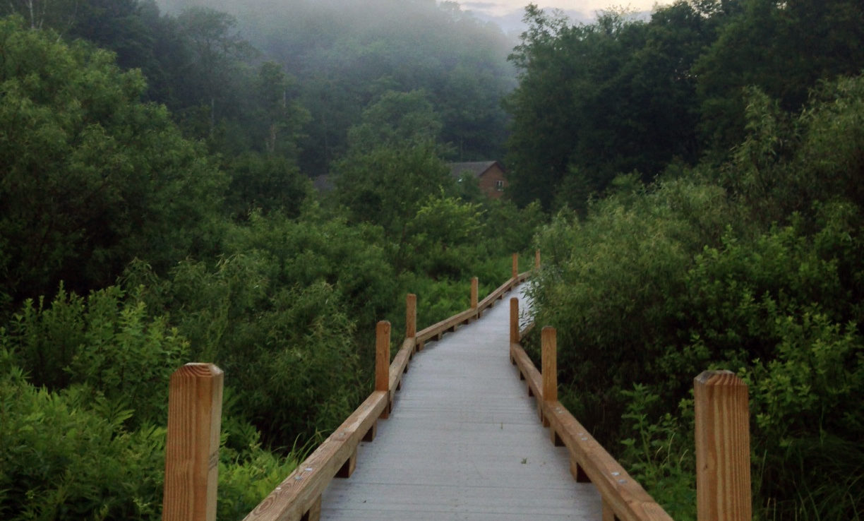
This section of the Appalachian Trail has 900 feet of accessible boardwalk that was built and is maintained by the GMC. It crosses an extensive wetland and connects to a smooth gravel switchback path to a platform at a 140-foot waterfall. For those looking for a long trip, continue on the AT for another 1.9 miles to Kent Pond.
Driving Directions: From Rutland: From the US 7/US 4 intersection, drive 12.6 mi east on US 4. Turn left on River Road. Continue 1.6 mi to the parking lot on your left.
From Bethel/I-89 Exit 3: Turn onto VT-107W from I-89. After 2.6 mi, turn left to stay on VT-107W. Continue onto VT-100S. When you see a golf course on your right, bear left onto River Road. Continue 2.3 mi to the parking lot on your right. Map it.
Lye Brook Falls, Manchester
» 5.4 mi round trip, approx. 789 ft elevation gain
The trail travels east from the trailhead and enters the Lye Brook Wilderness after 0.5 miles, so don’t be surprised if trail blazes become less frequent. The trail ascends on old railroad bed and woods road along the west side of Lye Brook Hollow. At 2.3 miles, a spur trail leads south 0.4 miles to one of the higher waterfalls in Vermont.
Driving Directions: From VT-7A in Manchester Center, follow VT-11 and VT-30 1.9 miles east, and then turn right onto East Manchester Road. Follow the road 1.2 miles to Glen Road and turn left. Continue straight on a short access road to the trailhead where Glen Road bears left at 0.1 miles. There is a parking lot by the trailhead 0.4 miles from that junction. Map it.
Questions? Our visitor center staff is here to assist you. Call (802) 244-7037 or email [email protected].


