

Let’s HikeVT! This week we’re featuring scenic hikes to inspire your outdoor adventures through mud season. Know before you go: proper footwear, safety, and activities for mud season.
- Sentinel Rock Trail, Westmore
- Sunset Rock, Stowe
- Mount Philo, Charlotte
- Bristol Ledges Trail, Bristol
- Mt. Ascutney Parkway, Windsor
- Prospect Rock, Manchester
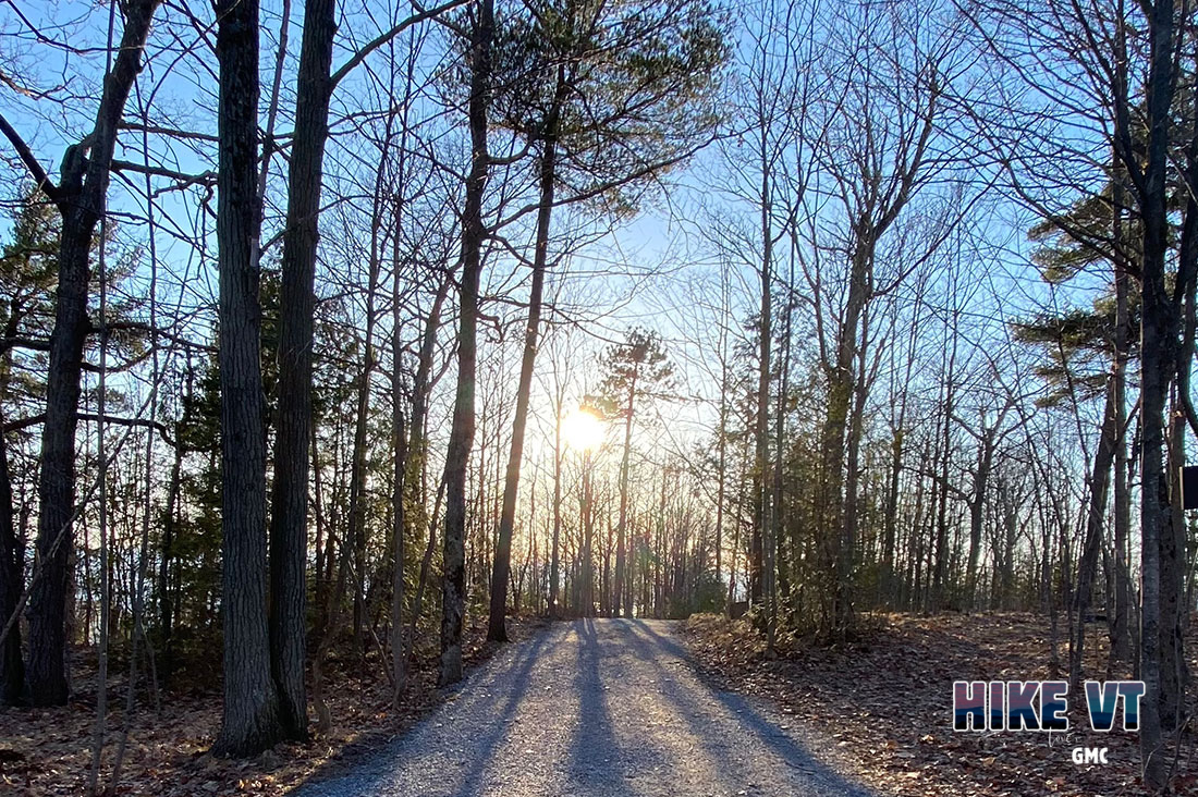
Sentinel Rock Trail, Westmore
» 1.8 mi round trip, approx. 26 ft elevation gain
This easy and accessible trail leads to a grassy knoll that provides sweeping views of the Northeast Kingdom. Along the way, the trail passes by Sentinel Rock, a large glacial erratic that dates to 13,000 years ago. More info.
Driving Directions to Sentinel Rock State Park:
From Lyndon: Head north on US-5 N. Bear right on US-5A when it splits off in West Burke. After passing most of Lake Willoughby, turn right on Hinton Hill Rd/T-38 at the Westmore Community Church. Head up the hill and dirt parking lot will be on your left in a large field.
From Newport: Head south on I-91S and take exit 26. Turn left US-5 S/VT-58 E and stay on VT-58 E when they split. When 58 ends, turn right on US-5A S. Turn left on Hinton Hill Rd/T-38 at the Westmore Community Church. Head up the hill and dirt parking lot will be on your left in a large field. Map it.
Sunset Rock, Stowe
» 0.7 mi round trip, approx. 321 ft elevation gain
This short trail provides two viewpoints, including one of Mount Mansfield. Don’t forget to stop at the Glacial Kettle hole that was formed 10,000 years ago by receding glaciers. More info.
Directions:
From Sunset Street entrance (walking directions): From the intersection of Route 100 and 108 in Stowe Village, head north on Route 100. Bear right onto Sunset Street and walk to the end of the street. The Sunset Trail is marked and begins off to the right. Parking is available on Main Street or in any of the designated parking areas in Town. Please do not park on Sunset Street, all parking is reserved for residents. Map it.
Taber Hill Road entrance (driving directions): From the intersection of Route 100 and Route 108 in Stowe Village, head north on Route 100. Take your 3rd right onto School Street. After 0.3 miles, bear left onto Taber Hill Road. Travel for 0.3 miles and turn left into the Sunset Rock parking area. Map it.
Mount Philo, Charlotte
» 2.45 mi round trip, 596 ft elevation gain
Although the hiking trails on Mount Philo are closed for mud season, you can still hike the Access Rd to find those beautiful views of Lake Champlain and the Adirondacks. More info.
Directions:
From 89 N: Take exit 13 for I-189 to Route 7. Follow Route 7 south for 14 miles to the trailhead. Map it.
Bristol Ledges Trail, Bristol
» 3 mi round trip, approx. 960 ft elevation gain
This is a perfect lower elevation option to view the sunset during mud season.
Directions:
From Main St in Bristol: From Main Street going east, turn left on Mountain Street, then the first right on Mountain Terrace. At the end of the road, look for a gate that has a sign for Bristol Ledges Trail. There is no parking at the trailhead, so park in town (the parking lot of Shaw’s works well). Map it.
Mt. Ascutney Parkway, Windsor
» 7.4 mi round trip, approx. 2,300 ft elevation gain
The paved toll road that winds up the side of Mount Ascutney provides long mileage, nice views, and the elevation gain that can be hard to find during mud season. More info.
Directions:
From I-91: Take Exit 8 Go, 0.2 miles east on Rt 131 to stop light, then turn left on Rt. 5 for 1.2 miles, then bear left on Rt. 44A for 1 mile. Map it.
Prospect Rock, Manchester
» 3.6 mi round trip, approx. 980 ft elevation gain
The trail steadily ascends Old Rootville Rd. 1.8 miles to a rocky outlook. From there, hikers are rewarded with views of Manchester and Mt. Equinox. More info.
Directions: From Manchester Center, at the traffic circle with Route 7AN and Depot St, take the Depot St exit. Follow Depot St for 1.9 mi then turn right onto E Manchester Rd then stay straight onto Rootville Rd. Limited parking found at the end of the road. Map it.
Questions? Our visitor center staff is here to assist you. Call (802) 244-7037 or email [email protected].


