

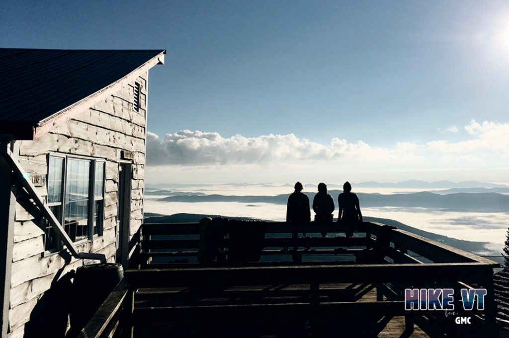
Let’s HikeVT! We discourage hiking above 2,500′ during mud season, as those trails are exceptionally vulnerable to damage. So how do you simulate a hike up Camel’s Hump and other popular Vermont peaks? This week, we’re featuring alternatives to iconic Vermont hikes. Know before you go: proper footwear, safety, and activities for mud season.
- Camel’s Hump alternative, in Stowe
- Mount Ellen alternative, in Waitsfield
- Mount Abraham alternative, in Charlotte
- Killington Peak alternative, in Windsor
Camel’s Hump alternative, in Stowe
» 5.84 total miles, approx. 689 ft elevation gain
If you are looking for the mileage of Camel’s Hump, try linking up three of Stowe Land Trust’s mud season friendly trail systems in one day. Start with the Mill Trail for a 1.5-mile round trip hike to the beautiful Bingham Falls. Then head to Wiessner Woods to hike the 1.84 mile outer loop. End your day by hiking the outer loop of Kirchner Woods for another 2.5 miles. You may not find the grand views of Camel’s Hump, but you will find endless wildflowers, explore different ecosystems, and see beautiful waterfalls all in one day.
Directions:
To get to the Mill Trail from Stowe, head northwest on VT-108 (Mountain Road). Turn right on Notchbrook Road. After 0.6 miles, there is a pull-off on the left. Parking is limited here. Map it.
From the Mill Trail, take Route 108 South to turn left onto Edson Hill Road, pass the entrance to the Stowehof Inn, and take the next drive on your right. The Wiessner Woods trailhead is on your left. Map it.
From Wiessner Woods, follow Edson Hill back to Route 108 South. Turn left onto Main St. Then left onto School St. Veer left onto Taber Hill Rd. Follow Taber Hill until you reach the trailhead for Kirchner Woods on your left. Map it.
Mount Ellen alternative, in Waitsfield
» 5 mi round trip, approx. 2,036 ft elevation gain
Looking to summit a Vermont 4,000’er like Mount Ellen? Instead hike the Stark Mountain Trail to the Stark’s Nest warming hut for approximately 5 miles round trip and 2,036′ of elevation gain. The trail follows a service road from the Mad River Glen Single Chair loading station. When you reach the Long Trail, head north for a short distance to reach the Stark’s Nest warming hut for some amazing views.
Directions: From 89, take Exit 10. Follow Route 100 South. Turn right onto Route 17. In 4.8 miles, the ski area is on your left. Map it.
Mount Abraham alternative, in Charlotte
» 4.8 mi round trip, approx. 1200 ft elevation gain
Are you seeking a mountain that will help you condition for bigger mountains like Mount Abraham? Hike the Mt. Philo access road loop 2 times for a total of 4.8 miles and approx. 1,200 ft of elevation gain. You will get your blood flowing as well as find some amazing views.
Directions: From 89 N, take Exit 13 for I-189 to Route 7. Follow Route 7 South for 14 miles to the trailhead. Map it.
Killington Peak alternative, in Windsor
» 7.4 mi round trip, approx. 2,300 ft elevation gain
If you are yearning for a big adventure like Killington, instead try the Ascutney Parkway for a total of 7.4 miles roundtrip and 2,300′ of elevation gain. The paved toll road that winds up the side of Mount Ascutney provides long mileage, nice views, and the elevation gain that can be hard to find during mud season.
Directions: From I-91, take Exit 8. Go 0.2 miles east on Rt 131 to the stop light, turn left on Rt. 5 for 1.2 miles, then bear left on Rt. 44A for one mile. Map it.
Questions? Our visitor center staff is here to assist you. Call (802) 244-7037 or email [email protected].


