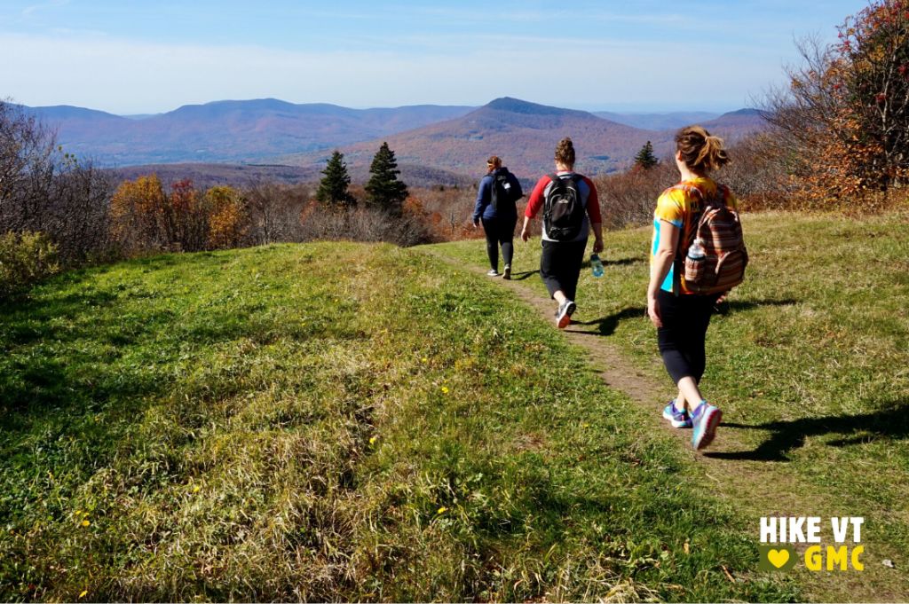
Fall is Vermont’s most iconic season, with generally pleasant hiking weather and of course that famous foliage. It’s also hunting season throughout the state, so it’s always good to be aware of who else may be using the lands and trails. Here are a few things to keep in mind when choosing where to hike during hunting season.
Hunting Season Basics
Check out our fall hiking guide and follow these hunting season tips when choosing where to hike during hunting season, no matter your trail of choice:
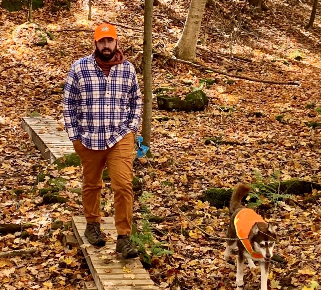
- Wear blaze orange to improve your visibility in the woods. GMC’s blaze orange trucker hat is back in stock for the season.
- Dress dogs in blaze orange as well, and keep them leashed or consider leaving them home.
- Try to hike during mid-day for best visibility. Hunters are more likely to hunt at dawn or dusk.
- Check out Vermont’s hunting and trapping calendar here. November is turkey, deer, and black bear season.
- Hunting is permitted in the Green Mountain National Forest, except on or near developed trails and recreation sites
- Hunting is permitted in all state forests (including the Long Trail State Forest), Wildlife Management Areas, and in state parks outside the operating season.
- Hunting is permitted on private land except when posted or indicated otherwise.
- While it’s good to be prepared and alert, know that the vast majority of hunters will stay away from well-traveled trails. All hiking trails managed by GMC remain open and accessible to hikers throughout the season.
Hunting Season Trail Recommendations
Wondering where to hike during hunting season? Stick to popular, well-traveled trails like these – hunters will typically avoid anywhere with other people.
Prospect Rock via the Long Trail, Johnson – MODERATE
Wiessner Woods, Stowe – EASY
Camel’s Hump Summit via Burrows Trail Loop, Huntington – MODERATELY DIFFICULT
Thundering Falls, Killington — ACCESSIBLE
Bromley Mountain, Winhall — MODERATE

1.) Prospect Rock via the Long Trail, Johnson – MODERATE
» 2.8 mi round trip, approx. 540 ft elevation gain
From the parking lot, head north on the Long Trail on a winding stroll through the woods. You’ll pass interesting rock features before coming to the banks of the Lamoille River. If the water is high (ex: after a heavy storm or during spring snowmelt), end your hike here and picnic near the bank. If the water is low, cross through to the island and continue on the LT until the Lamoille Suspension bridge. Once you reach the bridge, continue North on the LT as it crosses the bridge and Hogback Road. After Hogback Rd the trail winds its way up another mile until it reaches the top of Prospect Rock. Enjoy sweeping views of the river valley.
Driving directions to Long Trail parking lot on Route 15:
From Jeffersonville: Starting at the traffic circle, head east on VT-15 E for 6.0 miles. 0.5 mi after passing a large church on your left, you’ll see the designated LT parking lot on your left.
From Morrisville: Head west on VT-15 W. Pass through Johnson and continue until you see Johnson Farm and Garden on your right. 0.6 mi after the hardware store, you’ll see the designated LT parking lot on your right.
Note: If the water is too high to cross the Lamoille River, park instead at a pull-off on Hogback Road and begin your hike there. The dirt parking spot is just west of where the LT crosses the road.
2.) Wiessner Woods, Stowe – easy
» 1.84 mi round trip, approx. 135 ft elevation gain
This easy trail system is managed by Stowe Land Trust. Hunting is prohibited, so it is a great spot when choosing where to hike during hunting season. It has a few different length loops to try with many different features to see along the way including bridges, a sugarhouse, a vernal pool, different forest types, and most exciting of all is the Gnome Home!
Driving Directions from Stowe: Follow route 108 to turn right onto Edson Hill Road, pass the entrance to the Stowehof Inn, and take the next drive on your right. The Wiessner Woods trailhead is on your left. Map it.
3.) Camel’s Hump Summit via Burrows Trail Loop, Huntington – Moderately Difficult
» 5.0 mi round trip, approx. 2,461 ft elevation gain
The Burrows trail is the most direct and popular route to summit Camel’s Hump, which is why is a great hunting season option. It steadily climbs 2.1 mi to “Hut Clearing.” This is a large opening just where a few trails merge. On a cool fall day, it is a good spot to add some layers before taking the Long Trail above tree line to the summit. Once you have taken in the 360 degree views, return the way you came.
Driving directions to Forest City parking lots on Camel’s Hump Road in Huntington:
From Richmond/I-89 Exit 11: Turn onto US-2 E. In the center of Richmond, turn right/south on Bridge St. Pass the round church and turn Right on Huntington Rd. After crossing Huntington River bear right on Main Rd. Stay right on Main Rd in village of Huntington. Continue for 2.5 mi and turn left on Camel’s Hump Rd in Huntington Center.
From Bristol: Head east on VT-17 E. Turn left on Gore Rd before road begins steep ascent to App Gap. After 6.2 mi, turn right on Camel’s Hump Rd just after Huntington Town Office.
Lower Forest City/overflow lot is on right .8 mi after passing Hallock Rd. Please park perpendicular to the road in the dirt pull-off. Map It
Upper Forest City/Burrows lot is at the end of Camel’s Hump Rd, .7 mi past lower lot. If upper lot is full, use lower lot instead of parking along the narrow road. Map It
4.) Thundering Falls, Killington – Accessible
» 1,800 ft round trip, approx. 19 ft elevation gain
This section of the Appalachian Trail has 900 feet of accessible boardwalk that was built and is maintained by the GMC. It crosses an extensive wetland and connects to a smooth gravel switchback path to a platform at a 140-foot waterfall. For those looking for a long trip, continue on the AT for another 1.9 miles to Kent Pond.
Driving Directions: From Rutland: From the US 7/US 4 intersection, drive 12.6 mi east on US 4. Turn left on River Road. Continue 1.6 mi to the parking lot on your left.
From Bethel/I-89 Exit 3: Turn onto VT-107W from I-89. After 2.6 mi, turn left to stay on VT-107W. Continue onto VT-100S. When you see a golf course on your right, bear left onto River Road. Continue 2.3 mi to the parking lot on your right. Map it.
5.) Bromley Mountain, Winhall — Moderate
» 6.0 mi round trip, approx. 1,460 ft elevation gain
Follow the Long Trail north as it gradually climbs past Bromley Shelter. It then climbs more steeply to the summit where you will find yourself surrounded by the foliage and views from every angle. The grassy, open ski trails make it a wonderful spot to relax and eat lunch.
Driving Directions: From Route-7 in Manchester, take exit 4 and follow Route-11/30 west for 4.5 miles until you reach the Long Trail parking lot on the left. Map it.


