

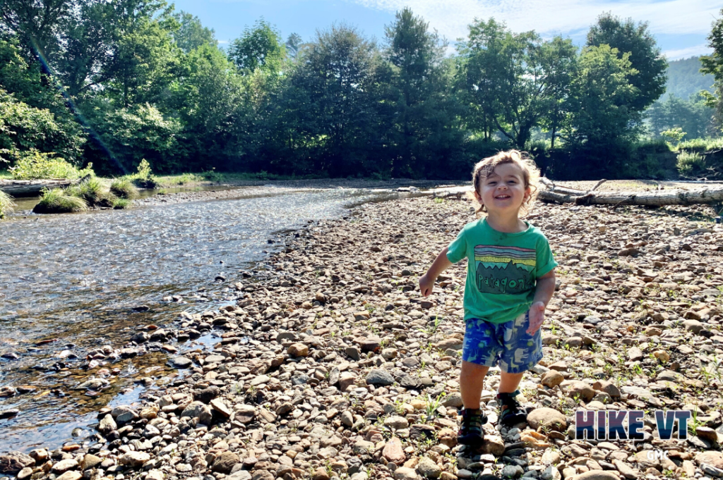
Let’s HikeVT! Explore our Mud Season trail index to find appropriate hikes for the season. Mud season typically runs from late March through Memorial Day weekend, when warm temperatures usher in snowmelt and rain — making trails extremely muddy. During this time, conditions are subject to change rapidly. We recommend seeking alternative hikes during mud season to protect trails from further damage as they thaw.
High-elevation trails (above 2,500′) are especially vulnerable to damage. When planning a hike, always check with the land manager of a particular trail to see if it is open. Please use caution when hiking and turn around if you encounter muddy sections of trail. Read more about mud season, including how to gear up, how to stay safe, and alternative activities to protect trails.
As weather oscillates above and below freezing, you may want to also check out our late winter hiking guide. Be sure to plan ahead, and have Microspikes and/or snowshoes for icy, snow-covered peaks.
Make sure you plan ahead:
- Many roads used to access the Long Trail are seasonal. Check the status of specific roads ahead of time using this general map of Vermont roads or this list of US Forest Service Roads.
- Guidebooks and maps are available for purchase at GMC’s Visitor Center, GMC’s online store, and in most Vermont bookstores and outdoor gear retailers. Many maps have digital versions.
Universally Accessible Hikes
Universally accessible hikes around Vermont, including:
- Moose Bog Trail, Ferdinand
- Sentinel Rock State Park, Westmore
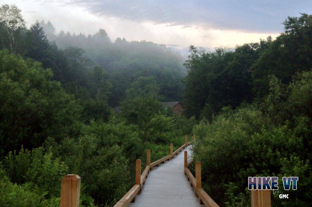
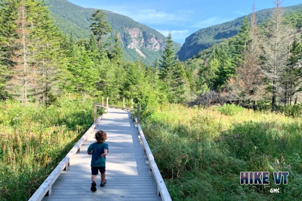
- Thundering Falls Boardwalk, Killington
- Barnes Camp Boardwalk, Stowe
Hikes to Scenic Waterways
Low-elevation hikes with views of lakes and ponds around Vermont, including:
- Brighton State Park, Brighton
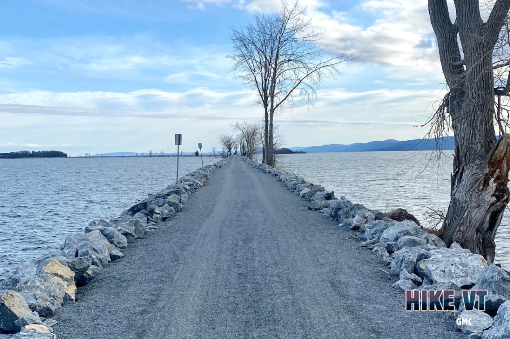
- Island Line Trail, Burlington to South Hero
- Kettle Pond State Park, Groton
- Emerald Lake State Park, East Dorset
- Little Pond Trail, Woodford
Alternatives to popular Vermont peaks
Simulate your favorite peaks with these alternatives around Vermont, including:
- Camel’s Hump alternative, in Stowe
- Mount Mansfield alternative, in Stowe
- Mount Ellen alternative, in Waitsfield
- Mount Abraham alternative, in Charlotte
- Killington Peak alternative, in Windsor
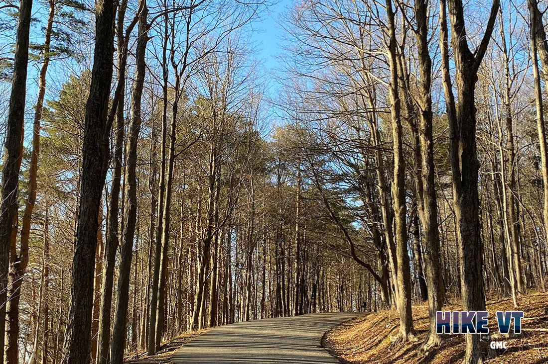
High-mileage hikes around the state
Low-elevation hikes with high mileage around Vermont, including:
- North Branch Trail, Ferdinand
- Island Line Trail, Burlington to South Hero
- Stowe Recreation Path, Stowe
- Bear Swamp Loop, Middlesex
- Bristol Trail Network, Bristol
- Mt. Ascutney Parkway, Windsor
- West River Trail, Londonderry to Townsend
Scenic hikes around the state
Scenic, low-elevation hikes around Vermont, including:
- Sentinel Rock Trail, Westmore
- Sunset Rock, Stowe
- Mount Philo, Charlotte
- Bristol Ledges Trail, Bristol
- Mt. Ascutney Parkway, Windsor
- Prospect Rock, Manchester
More HikeVT trails to explore, by season:
- Mud season HikeVT recommendations: scenic hikes; high-mileage hikes; alternatives to popular peaks; hikes to waterways; accessible hikes; day hikes
- Summer and fall HikeVT recommendations
- Summer day hikes
- Fall day hikes
- Winter HikeVT recommendations by skill level: easy hikes; moderate hikes; moderate to difficult hikes; difficult hikes; and difficult hikes above 4,000 feet; day hikes
Maps:
Places to rent snowshoes:
- Umiak Outdoor Outfitters, Stowe
- Outdoor Gear Exchange, Burlington
- First Stop Board Barn, Killington
- The Mountain Goat, Manchester
- VT Libraries with Snowshoes through Rise VT
Questions? Our visitor center staff is here to assist you. Call (802) 244-7037 or email [email protected].


