Calling all college students! Whether you are new to Vermont or new to hiking, check out these recommendations for great fall hikes near your campus from Krista Karlson. Do you have a different favorite? Let us know in the comments!
Hikes Near Vermont Colleges
- Bennington College
- Champlain College
- Community College of Vermont- Montpelier
- Goddard College
- Landmark College
- Marlboro Institute at Emerson
- Middlebury College
- Norwich University
- Saint Michael’s College
- Sterling College
- University of Vermont
- Vermont College of Fine Arts
- Vermont State University Campuses
Bennington College
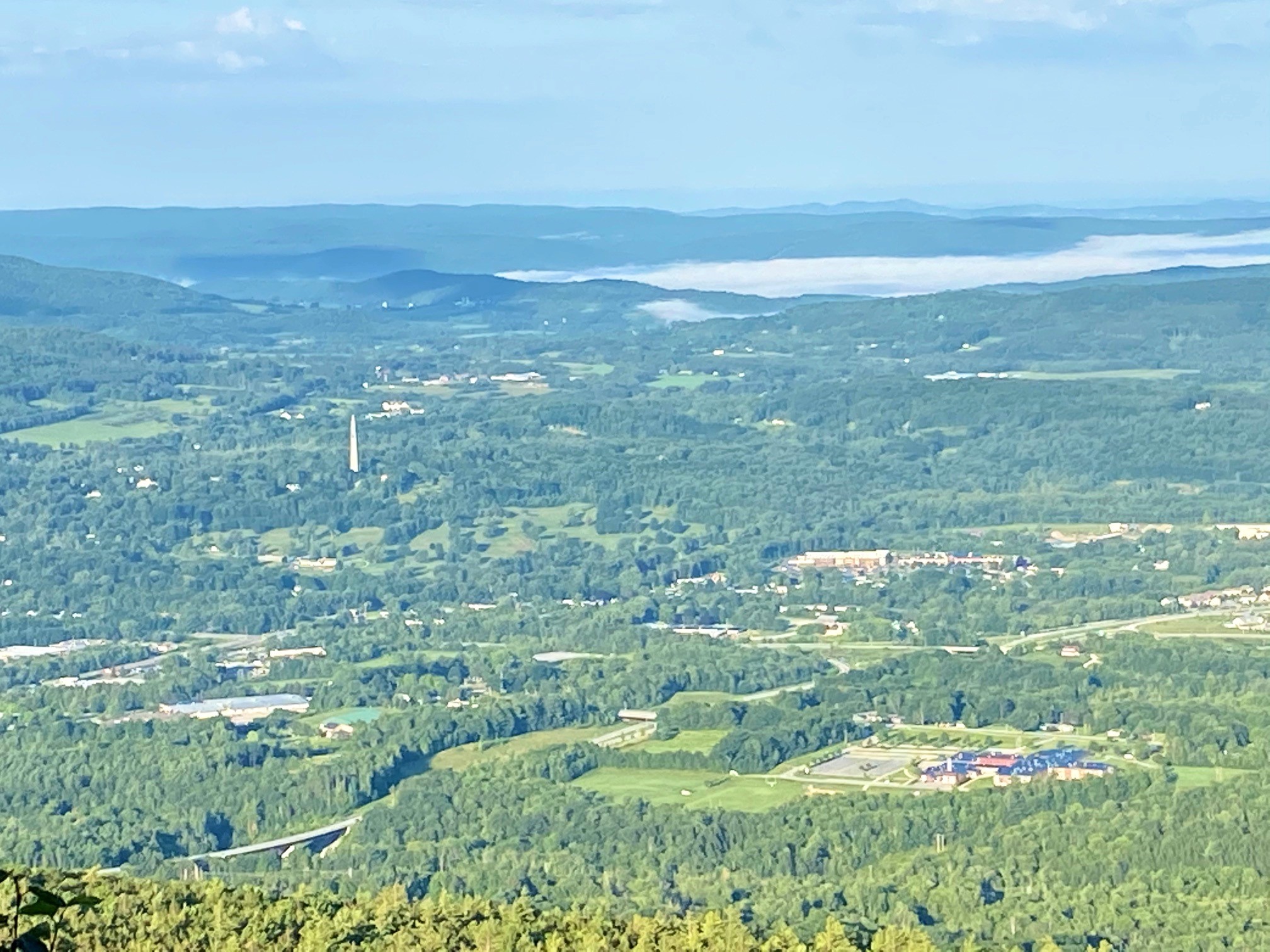
Bald Mountain
Just 15 minutes from campus, this 4-mile round-trip route is a perfect fall day trip. Named for a forest fire that seared the summit in the 1920s, the peak is no longer completely bald, but still offers views of the surrounding Green Mountain National Forest.
Route: Starting from the Woodford Hollow trailhead, follow the blue blazes up the old forest road for 0.3 miles before turning left onto the trail. Continue 1.6 miles to the junction with the West Ridge Trail, after which the summit is just 0.1 miles away.
Unique features: The sandy top of this mountain is quartz that has eroded over time.
Driving directions here. Drive time 15 minutes.
Champlain College
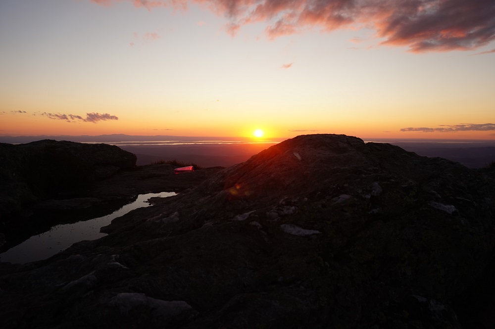
Mt. Mansfield via Laura Cowles and Sunset Ridge
Vermont’s highest peak offers unbeatable views of Lake Champlain and the Adirondacks, as well as several overnight camping options.
Route: From Underhill State Park, ascend the steep Laura Cowles Trail 2.7 miles to the Chin. On the way down, opt for the Sunset Ridge Trail, an exposed 3.3 mile route with eastern views. To extend the adventure, head to Taft Lodge or Butler Lodge, both four-walled shelters.
Unique features: The mountain’s profile is said to look like a face. The Chin is the highest point, but hikers can also visit the Adam’s Apple, the Nose, and the Forehead.
Driving directions here. Drive time 45 minutes.
Community College of Vermont- Montpelier
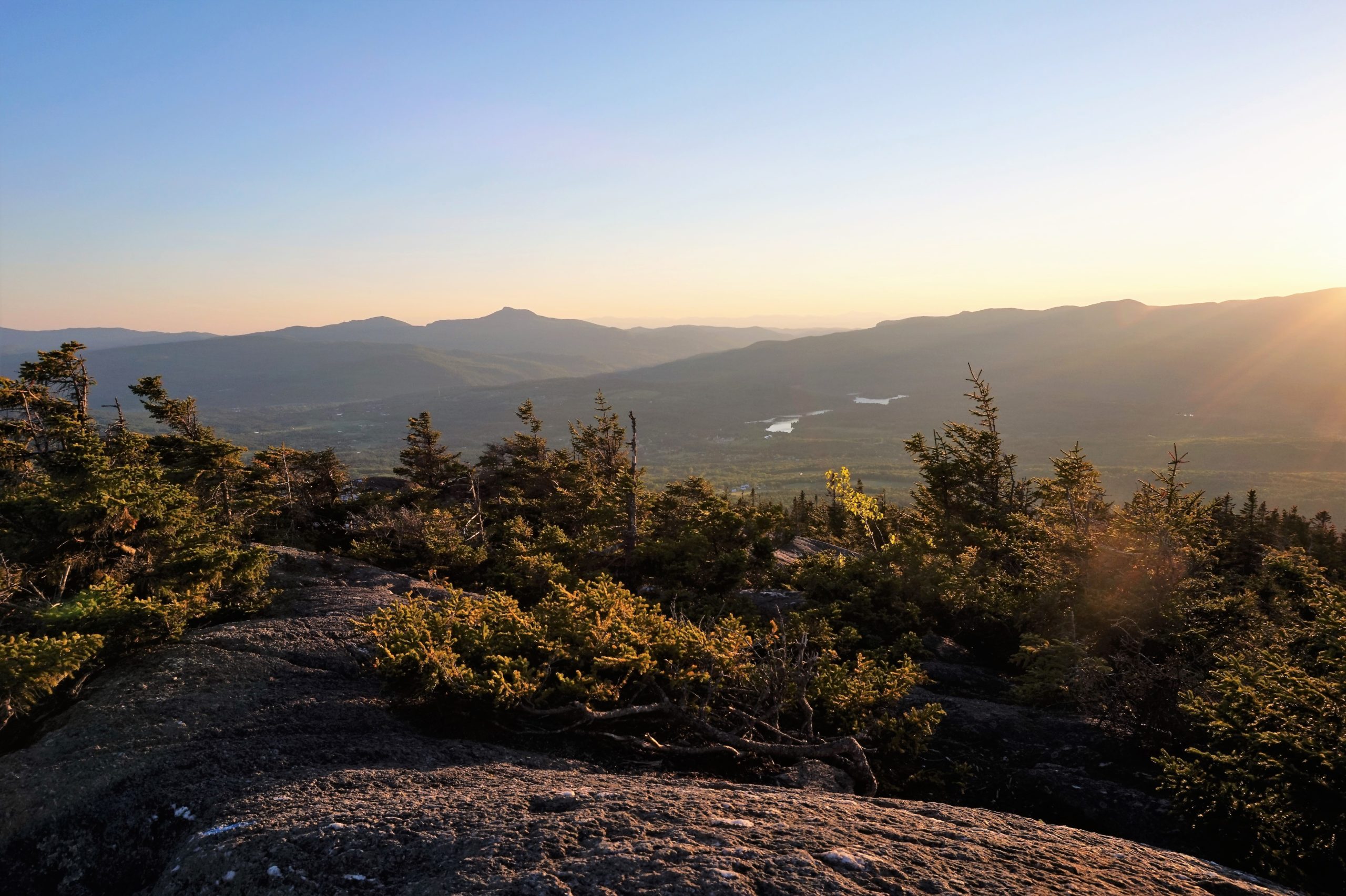
White Rock Mountain via Middlesex Trail to Bob Kemp Trail
A quick jaunt north of campus, this hike offers big views in just 2.6 miles.
Route: From the trailhead, follow the Middlesex Trail 1.5 miles to its intersection with the Bob Kemp Trail. Stay left on the Bob Kemp Trail and continue 1.1 miles to the summit. Can’t get enough? Make it a loop by adding Mt. Hunger via the White Rock Trail.
Unique features: Jocelyn Hebert, former Long Trail News Editor, recommends this hike by moonlight.
Driving directions here. Drive time 15 minutes.
Goddard College
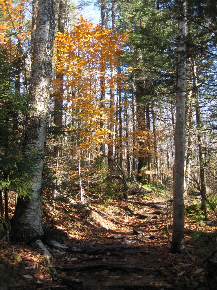
Spruce Mountain
Just 15 minutes from campus, this hike offers panoramic views in only 2.2 miles, making it perfect for sunrise or sunset.
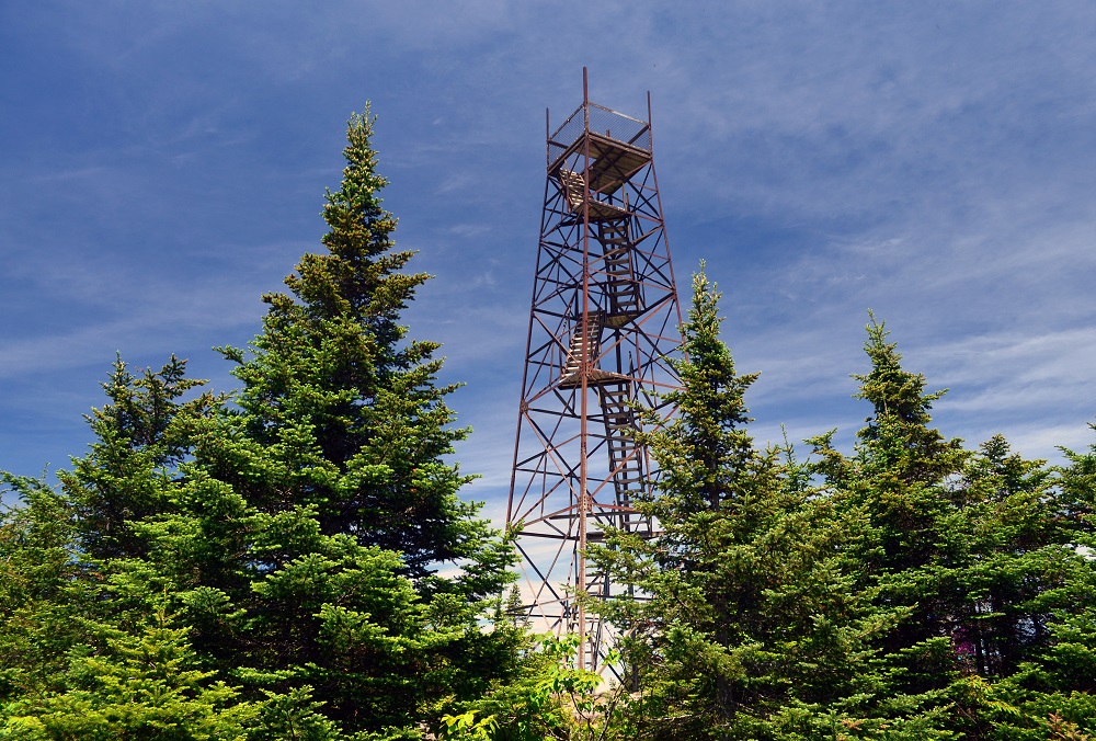
Route: From the trailhead, make the gradual ascent 2.2 miles past unique stone features to reach the summit, which has a southeast-facing rock ledge and a four-story fire tower.
Unique features: On a clear day, look for Mount Washington from the summit fire tower.
Driving directions here. Drive time 15 minutes.
Landmark College
Stratton Mountain via The Long Trail
This 7.6-mile hike is worth the drive. With just 1,730 feet of elevation change, this enjoyable route offers birds-eye views in all directions.
Route: Starting from the Stratton Pond parking lot, head north 3.8 miles on the Long Trail, where you’ll sneak views at several places along the way.
Unique features: A 70-foot fire tower, originally built by the CCC and recently renovated by the Long Trail Patrol, sits atop the summit.
Driving directions here. Drive time 1 hour.
Marlboro Institute at Emerson
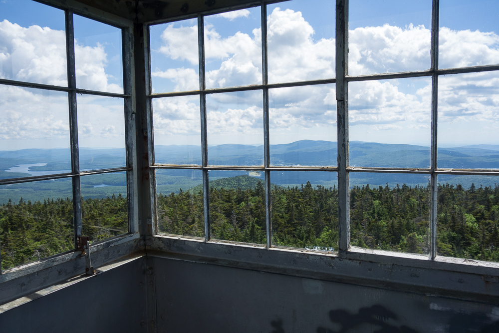
Mt. Olga
Just 15 minutes from campus, this short hike in Molly Stark State Park is perfect for a sunset picnic.
Route: From the trailhead across from the ranger station, hike 0.9 miles through woods sprinkled with stonewalls and abandoned agricultural equipment. Take the spur trail to the summit. When you’re ready to head down, continue on the Mt. Olga trail to create a 1.7-mile loop that ends in the campground.
Unique features: The fire tower gives hikers a panoramic view of the fall foliage.
Driving directions here. Drive time 15 minutes.
Middlebury College
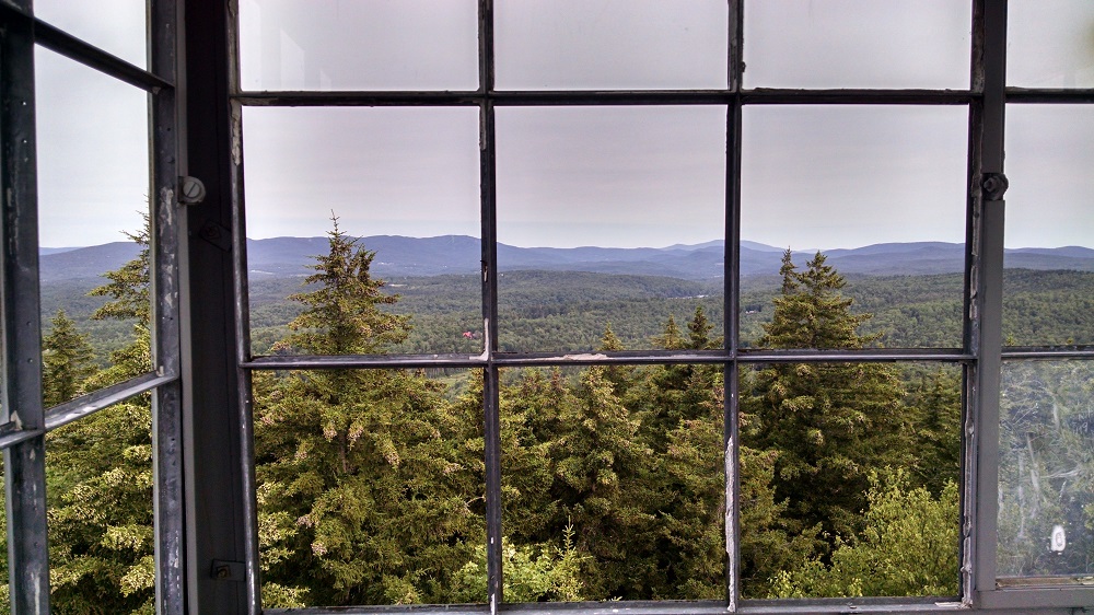
Mt. Abraham via Battell Trail
Gaze out at Lake Champlain from the summit of this 5.8-mile round-trip route. The view is especially stunning at sunset, when the foliage comes ablaze before the Adirondack backdrop.
Route: From the Battell trailhead, ascend 2 miles to the junction with the Long Trail. Stay straight to continue North on the Long Trail, past Battell Shelter, for another 0.9 miles to the summit.
Unique features: The wreckage of a 1973 plane crash, in which the pilot and passengers survived and simply emerged onto the Long Trail, is a few hundred yards north of the Mt. Abraham summit. Look for a small rock cairn on the left of the Long Trail.
Driving directions here. Drive time 35 minutes.
Norwich University
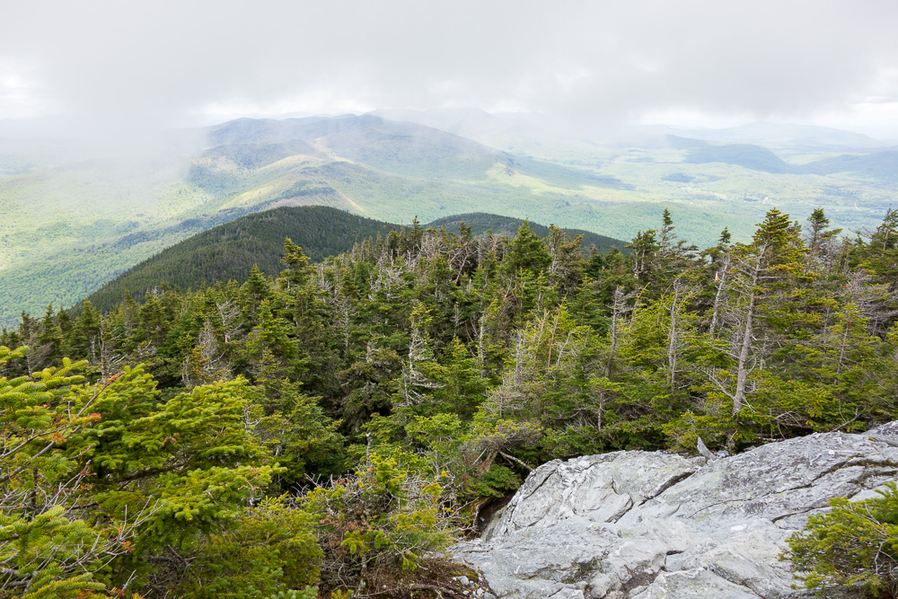
Mt. Abraham via The Long Trail
Gaze out at Lake Champlain from the summit of this 5.2-mile round-trip peak. The view is especially stunning at sunset, when the foliage comes ablaze before the Adirondack backdrop.
Route: From the Lincoln Gap trailhead, hike north on the Long Trail for 1.7 miles to the Battell Shelter. Continue 0.9 miles north, tackling a few rocky scrambles before emerging above tree line.
Unique features: The wreckage of a 1973 plane crash, in which the pilot and passengers survived and simply emerged onto the Long Trail, is a few hundred yards north of the Mt. Abraham summit on the Long Trail. Look for a small rock cairn on the left of the trail.
Driving directions here. Drive time 35 minutes.
Saint Michael’s College
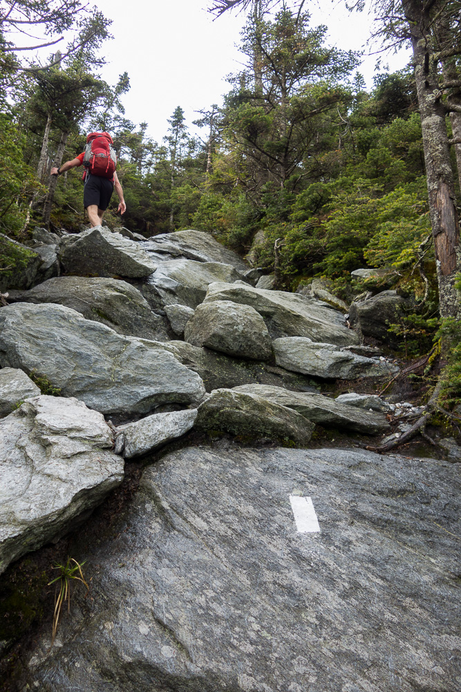
Camel’s Hump via Monroe Trail
Embark on this satisfying hike, where in just 3 miles you’ll see a panoramic blaze of Vermont foliage.
Route: From the trailhead, follow the Monroe trail 2.5 miles to its intersection with the Alpine Trail. At the three-way junction, stay left on the Alpine Trail for 0.5 miles to the intersection with the Long Trail. Turn right (North) on the Long Trail, and reach the summit in a few hundred yards. For extra adventure, spend the night at the Hump Brook Tent Area.
Unique features: Look out for the remains of a WWII bomber plane on the Alpine Trail right before its intersection with the Long Trail.
Driving directions here. Drive time 45 minutes.
Sterling College
Belvidere Mountain
Once home to the largest chrysotile asbestos production in the world, Belvidere Mountain’s mines are now closed. Just 30 minutes from campus, this hike meanders a quieter section of the scenic Long Trail.
Route: Starting from the Eden’s Crossing trailhead, head north on the Long Trail for 2.6 miles to the intersection with the Forester’s Trail. Take the summit spur trail another 0.2 miles to the summit.
Unique features: A recently rebuilt fire tower sits atop the summit, from which you might see Mount Washington on a clear day.
Driving directions here. Drive time 30 minutes.
University of Vermont
Mt. Ellen via Jerusalem Trail
This challenging route up the backside of Sugarbush/Mt. Ellen features stunning views, as well as a convenient overnight option.
Route: From the trailhead, ascend the steep 2.4 miles to the intersection with the Long Trail. Turn right to continue South on the Long Trail for 1.8 miles to the summit of Mount Ellen.
Unique features: Make it an overnight by backtracking to Glen Ellen Lodge, a four-walled shelter with sunrise views.
Driving directions here. Drive time 45 minutes.
Vermont College of Fine Arts
Mt. Hunger via Waterbury Trail
Itself the backdrop to the Von Trapp family property, Mt. Hunger offers views of two of Vermont’s most iconic ridgelines, Mt. Mansfield and Camel’s Hump.
Route: From the Waterbury trailhead, ascend 2,300 feet in 2 miles to the summit, where you’ll scramble a small rock face before taking in the views.
Unique features: A waterfall makes for a chilly dip after the strenuous hike.
Driving directions here. Drive time 30 minutes.
Vermont State University Campuses
Castleton
Killington Peak via Bucklin Trail
360-degree views are the reward for this strenuous 7-mile round-trip hike. In fall, the Green Mountains are ablaze in every direction.
Route: From the Bucklin trailhead, follow the blue blazes for about 2.5 miles to Cooper Lodge, a funky stone and wood shelter that’s a hotspot for Long Trail thru hikers. Continue past the shelter to the summit, where you’ll probably encounter many parties that took the gondola up the mountain’s east side.
Unique features: Cooper Lodge is the highest shelter on the Long Trail.
Driving directions here. Drive time 35 minutes.
Johnson
Whiteface (Sterling) Mountain via Beaver Meadow Trail
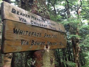
This hike has it all: meadows, streams, a mountain bowl, and unique views. Keep your eye out for beavers, which according to Vermont State Parks are the “largest and busiest rodents in Vermont.”
Route: From the trailhead, hike 2.5 miles to the intersection with the Beaver Meadow Loop Trail. Stay right to the intersection with the Whiteface Mountain Trail, and ascend steeply about 1 mile to the junction with the Long Trail. Stay right to continue about ¼ mile North on the Long Trail to Whiteface Mountain.
Unique features: The year “1862” is inscribed in rock on the summit.
Driving directions here. Drive time 25 minutes.
Randoph and Williston
Camel’s Hump via Burrows Trail
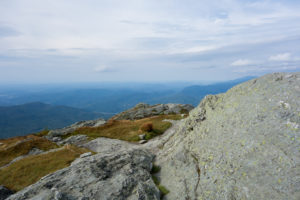
Popular for a reason, this steep hike offers panoramic foliage views of the Green Mountains and Lake Champlain.
Route: From the trailhead, ascend 2.1 miles on the Burrows Trail to a sheltered clearing. Continue south on the Long Trail 0.3 miles to the summit, where you’ll probably need a windbreaker. Adventurous hikers can continue to Montclair Glen for the night before looping back to the trailhead.
Unique features: Continue south on the Long Trail to its intersection with the Alpine Trail, where you’ll find the remains of a WWII bomber plane a few hundred yards down the trail.
Driving directions here. Drive time 35 minutes.




Hi, GMC Staff! This list is great! There is something to anyone. I was wondering, which of these trails are more popular?