

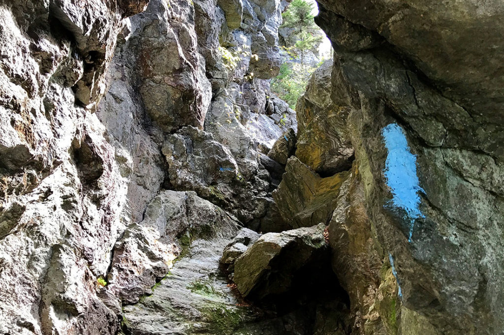
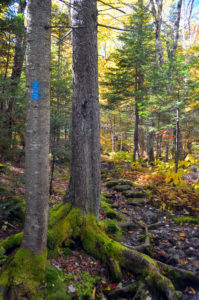
Can’t get enough of the Green Mountains? Try completing the Long Trail’s blue-blazed side trails!
- Number of side trails in the Green Mountains (spur trails to shelters not included): 88
- Total mileage: 166.1 miles
- See list of trails below.
Becoming a Certified Side-to-Sider
Once you’ve completed all the side trails, you can become a certified Long Trail Side-to-Sider!
Certified Side-to-Sider benefits:
- Complimentary one-year GMC membership (for first-time members only)
- Side-to-Side Certificate
- Side-to-Side rocker patch
- GMC logo patch
- Your name listed in the following summer’s Long Trail News!
- Knowing you are among the few and the proud who’ve hiked them all!
To apply:
- Online:
- Download and fill out the Long Trail Side-to-Side Trail Tracker, which you will upload in the online application.
- Complete the Long Trail Side-to-Side Certification Online Application (each applicant MUST submit their own application).
- Or by Mail:
- Print and fill out the paper Long Trail Side-to-Side Certification Application (each applicant MUST submit their own application).
- Mail to:
Green Mountain Club
Side-to-Side Certification
4711 Waterbury-Stowe Road
Waterbury Center, Vermont 05677
Side-to-Side applications are processed twice each year. Applicants who meet the following deadlines will be listed in the Summer edition of the Long Trail News:
- Deadline #1, if postmarked or submitted online by September 15th you can expect to receive your certificate and patch in October.
- Deadline #2, if postmarked or submitted online by February 1st you can expect to receive your certificate and patch in March. (If you submit your application after February 1st your name will not be listed in the Long Trail News until the following year.)
Side Trails of the Long Trail
This list is divided up based on the 8 map panels on the Long Trail Map (7th Edition, 2025). The map, as well as the Long Trail Guide (2025) are indispensable resources in planning and executing your Side-to-Side.
Southern Terminus to Glastenbury Mountain
- Broad Brook Trail – 4.0 miles
- Bald Mountain Trail (east and west trailheads) – 5.9 miles
- Little Pond Trail – 0.5 miles
- West Ridge Trail – 7.8 miles
Big Rock to Styles Peak
- Branch Pond Trail – 8.3 miles
- Lye Brook Trail – 9.7 miles
- Stratton Pond Trail – 3.7 miles
- Wanderer Trail – 2.4 miles *Stratton Ski Area trails
- Stratton Ridge Trail–0.7 mile *Stratton Ski Area trails
Peru Peak to Governor Clement Shelter
- Griffith Lake Trail – 2.0 miles
- Lake Trail – 3.3 miles
- Baker Peak Trail — 0.9 mile
- Old Job Trail – 5.4 miles
- Green Mountain Trail & Connector – 4.7 miles
- Little Rock Pond Loop — 0.4 mile
- Homer Stone Brook Trail – 2.3 miles
- Keewaydin Trail — 0.4 mile
- White Rocks Cliff Trail — 0.2 mile (Overlook)
Governor Clement Shelter to Cape Lookoff Mountain
- Black Swamp Trail – 2.2 miles
- Shrewsbury Peak Trail – 4.0 miles
- Bucklin Trail – 3.5 miles
- Killington Peak Spur — 0.2 mile
- Pico Link Trail — 0.4 mile
- Sherburne Pass Trail (south) – 3.1 miles
- Sherburne Pass Trail (north) — 0.5 mile
- Deer Leap Trail – 1.7 miles
- Deer Leap Overlook Spur – 0.2 mile
- New Boston Trail – 1.2 miles
- Chittenden Brook Trail – 3.7 miles
Cape Lookoff Mountain to Mount Ellen
- Sucker Brook Trail – 1.0 mile
- Silent Cliff Trail — 0.4 mile
- Burnt Hill Trail – 2.2 miles
- Skylight Pond Trail – 2.6 miles
- Cooley Glen Trail – 3.2 miles
- Emily Proctor Trail – 3.5 miles
- Clark Brook Trail – 3.0 miles
- Battell Trail – 2.0 miles
- Jerusalem Trail – 2.4 miles
Mount Ellen to Mount Mayo
- Stark Mountain Trail – 2.4 miles
- Sunnyside Trail — 0.4 mile
- Beane Trail – 1.5 miles
- Hedgehog Brook Trail – 2.0 miles
- Forest City Trail – 2.2 miles
- Burrows-Forest City Connector — 0.1 mile
- Burrows Trail – 2.1 miles
- Monroe Trail – 3.1 miles
- Alpine Trail – 1.7 miles
- Dean Trail – 1.0 mile
- Allis Trail — 0.3 mile
- Duck Brook Trail – 5.4 miles
Mount Mayo to Bowen Mountain
- Lake Mansfield Trail – 1.6 miles
- Clara Bow Trail — 0.4 mile
- Nebraska Notch Trail – 1.5 miles
- Butler Lodge Trail – 1.8 miles
- Wallace Cutoff — 0.1 mile
- Frost Trail – 1.4 miles
- Maple Ridge Trail – 1.3 miles
- Rock Garden Trail – 0.6 miles
- Wampahoofus Trail — 0.60 mile
- Forehead Bypass – 1.2 miles
- Haselton Trail – 1.6 miles
- South Link — 0.6 mile
- Laura Cowles Trail – 1.4 miles
- Sunset Ridge Trail – 2.0 miles
- Cantilever Rock Trail — 0.2 mile
- Halfway House Trail – 0.9 miles
- Lakeview Trail — 0.8 mile
- Canyon North Extension — 0.6 mile
- Canyon North Trail — 0.6 mile
- Canyon Trail — 0.6 mile
- Amherst Trail — 0.3 mile
- Cliff Trail – 1.1 miles
- Subway Trail — 0.3 mile
- Profanity Trail — 0.5 mile
- Hell Brook Trail – 1.5 miles
- Hell Brook Cutoff — 0.7 miles
- Adams Apple Trail — 0.2 mile
- Sterling Pond Trail – 1.1 miles
- Elephant’s Head Trail — 0.7 mile
- Beaver Meadow Trail – 2.3 miles
- Chilcoot Trail — 0.8 mile
- Whiteface Trail – 1.0 mile
- Davis Neighborhood Trail – 1.5 miles
Spruce Ledge Camp to Northern Terminus
- Babcock Trail – 1.4 miles
- Babcock Trail Extension — 0.4 mile
- Frank Post Trail – 2.0 miles
- Forester’s Trail – 2.1 miles
- Journey’s End Trail – 1.3 miles


