

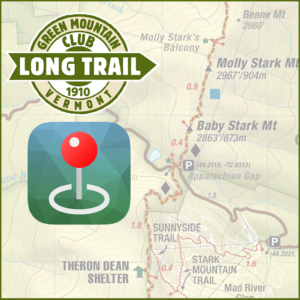
 Joining the area-specific digital maps offered last fall, Green Mountain Club’s complete map of the Long Trail is now available as a digital map through the free Avenza Maps app in the App Store and Google Play. After installing the Avenza Maps app on your mobile device, visit the Green Mountain Club map page to purchase your map today.
You don’t need a network connection to use this map in the backcountry. It is georeferenced, allowing the GPS on your mobile device to pinpoint your location on the map as you go. Other features include the ability to:
- See exact GPS coordinates at any time
- Mark places of interest
- Record GPS tracks
- Plot your geotagged photos on the maps
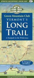 The Long Trail map combined with the Long Trail Guide and The Long Trail End-to-Ender’s Guide provide the most comprehensive resource to plan your hike on the Long Trail. The map includes up-to-date information about shelter and trail locations, mileages, and suggested day hikes. Proceeds benefit the work of the Green Mountain Club to maintain and protect Vermont’s hiking trails.
Digital maps and their extensive features are an exciting bonus tool that helps to make the backcountry more accessible. However, it is GMC’s recommendation to always carry a paper map and compass while hiking as well. Mobile devices break and batteries die and it’s important to stay found while recreating in the backcountry.
Visit the Green Mountain Club map store to see the complete catalog of digital maps, also including Mount Mansfield and the Worcester Range, Camel’s Hump and the Monroe Skyline, Killington Area with Ascutney & Okemo, and Manchester Area with Stratton & Bromley.


Awesome that you guys create and distribute these! How hard it is to put together and publish? I’d like to explore doing the same thing here in Utah.
Les sentiers sont-ils fermés pendant les périodes de chasse? Si oui, pouvez-vous svp, me de donner les dates.
Je vous remercie de me répondre.
Trails are not closed during hunting season but we do recommend a few precautions: https://www.greenmountainclub.org/hunting-season-begins/