This post was written by Amy Kelsey, Executive Director of the Catamount Trail Association.
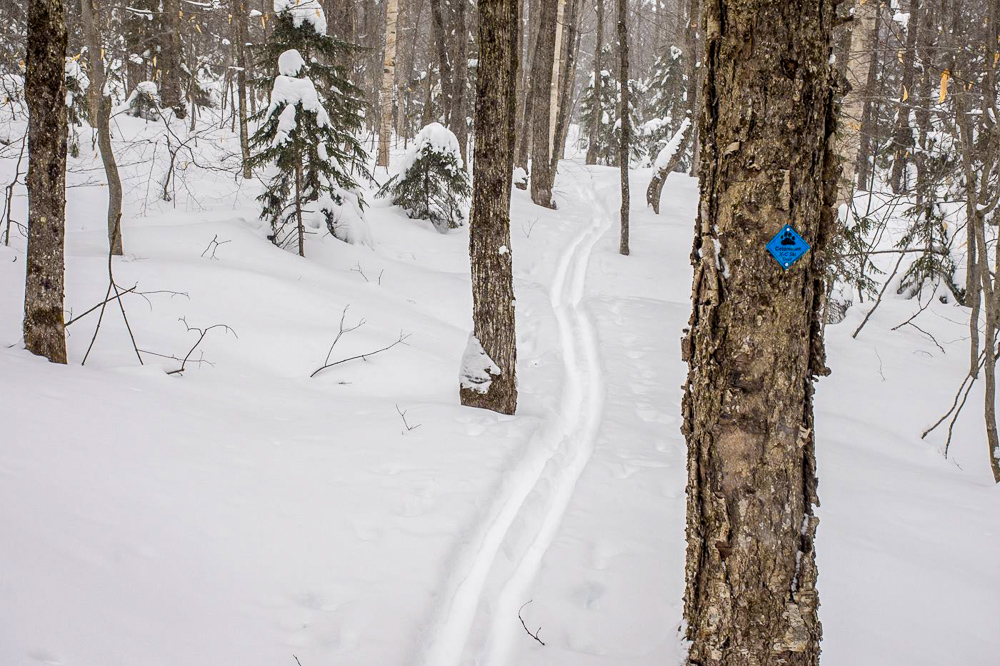
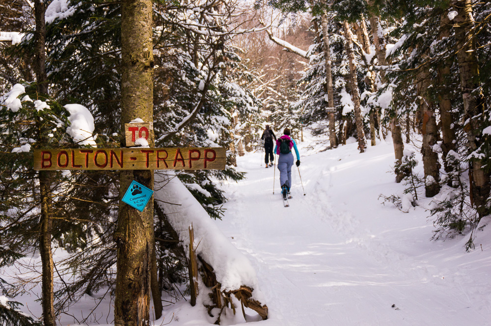
The Long Trail isn’t the only trail that runs the length of Vermont. The Catamount Trail (CT) is 300 miles of backcountry skiing through the heart of Vermont stretching from Massachusetts all the way to Canada. It was first skied in 1984. The Trail begins in the town of Readsboro, VT, along the Massachusetts border, and stretches north to North Troy where it hits the Quebec border. The Trail is divided into 31 sections, most of which are skiable in a day, depending on conditions. Sections range in length from 6 or 7 miles to over 12 miles. Each of these sections is maintained with the help of one or more volunteer “Trail Chiefs.” The Trail Chiefs are the folks that know the trail sections best, and they are the people that make sure it is clear and ready for skiing each winter. The trail would not exist without the help and dedication of these and many other volunteers.
The Catamount Trail is characterized by great diversity – both in terms of the difficulty of the route and the remoteness and scenery of the various sections. There is something for everyone, regardless of your ability level and the time available. However, please be aware that while you may be adequately skilled and equipped for one section, you may not necessarily be so for other sections. Consider the weather and snow conditions, and each member of your party’s physical fitness, equipment, familiarity with the route and backcountry skiing experience and skills. By reading the route description for each section and studying the trail map and profile (available at no cost on the Catamount Trail Association website), you should be able to choose a section suitable for the ability level of your party
Work related to maintaining and protecting the trail corridor is a priority for the CTA, but it is far from all they do. Their instructional offerings provide individuals of all ages and backgrounds the opportunity to spend time outside being active during the winter. Collaborations with land managers and local community groups provide dispersed backcountry skiing and riding opportunities throughout the state. And, their special events bring individuals together helping create new connections and strengthening the Vermont community. Being active and enjoying the winter environment is a large part of the Vermont experience. The CTA offers a wide variety of tours, special events, and instructional clinics in an effort to remove the obstacles that keep people inside and sedentary during winter. Whether you’re looking to develop and improve your technique, meet like-minded adventurers, or push your limits… You can be sure the CTA has something for you. To learn more about the CTA, or to join one of their many winter tours or events, visit www.catamounttrail.org. If you’d like assistance to determine where you might start your Catamount Trail adventures, feel free to call the CTA staff at 802-864-5794. They love to talk about the trail!
CT/LT Overlap Adventures
Although the Catamount Trail is frequently at a lower elevation than the Long Trail, there are some places where they run close together, overlap, or can even be combined for a multi-trail adventure! Try out some recommended tours in those areas below.
Stratton Pond, Stratton
The beautiful loop around Stratton Pond is approximately two miles long. Follow the Catamount Trail north from the end of plowing on the Stratton/Arlington Road. Continue to Stratton Pond (a short portion overlaps with GMC’s Stratton Pond Trail), circumnavigate the pond, and then head back out. Total Distance = just shy of 8 miles.
Grout Pond, Stratton
Within the Grout Pond Recreation Area, several loops are possible. A 6-mile loop partially on the CT and partially on snowmobile trails begins at the Kelley Stand Rd. parking area. This loop is suitable for intermediate skiers. The trail is wide and the terrain is gentle but snowmobile traffic is present on some portions of the trail, particularly on weekends. Follow the Grout Park entrance road, which is also the CT and a snowmobile trail, south to Grout Pond cabin. Continue along the west shore of Grout Pond to the south end of the pond. Connect to the Catamount Trail and turn left to go around the pond. Eventually, you will return to Grout Pond Road about 0.5 miles south of the parking area where you started. (Note: there is a logging operation this winter and Grout Pond road is plowed all the way to the Cabin).
Utley Brook/Little Michigan, Landgrove
The Mountain Valley Trails Association (MVTA) maintains an extensive network of cross-country ski trails in this part of the GMNF, including the Utley Brook, Little Michigan, Rootbeer Ridge, and Jones Brook Trails. See map resources below for more detail.
Huntington Gap, Huntington
Huntington Gap is one of a handful of spots where the CT and LT intersect. This excursion utilizes hiking and snowmobile trails, as well as a short piece of the CT. This route requires strong navigational skills and is appropriate for advanced skiers and hikers/snowshoers. Follow the Beane Trail to the LT and the intersection with the CT. Continue on a VAST snowmobile trail heading northwest until you return to the logging road. Follow the logging road east back to parking. See the CT North Map for more detail.
Bolton Mountain, Bolton
Just east of the LT, there are numerous trails worth exploring in Bolton Valley.
Follow the CT through to Nebraska Valley road, explore the Woodward Trail, or make a loop using the JK trail and Cottonbrook. The Cottonbrook basin can be very confusing. This is recommended for advanced skiers with good route-finding skills. You need to be prepared for a full day out and be attentive to your location at all times.
Overland Trail, Underhill
The Overland Trail climbs from the parking lot at the end of Stevensville Road up to the ridge of the Greens, crossing the LT between Dewey Mountain and Mount Mansfield. Ski up and back, or ski up and over the ridgeline where you can connect to a system of backcountry trails maintained by the Mount Mansfield Nordic Ski Center.
Catamount Trail Section 30: Hazen’s Notch to Jay Pass, Montgomery
This section parallels the LT at lower elevations, and offers a variety of conditions and terrain from nearly level groomed snowmobile trail and logging roads, to steep, narrow, twisting trail. Snow is usually reliably deep due to a northwestern exposure. The ridge below Buchanan Mountain offers fine views of Jay Peak to the north and Burnt Mountain to the south. We recommend skiing from North to South.
Resources:
Catamount Trail Online Section Maps
Catamount Trail Waterproof Map Set: North & South
Mt Mansfield Region Ski and Snowshoe Map
XC Ski and Snowshoe Trails in the Green Mountain National Forest







This is cross country skiing not back country correct?
Hi Scott, Most of these suggested skis are more geared toward cross country skiing, but there are some areas that are pretty technical and aren’t recommended for a novice Nordic skier. By reading the route description for each section and studying the trail map and profile (http://catamounttrail.org/ski-the-ct/trail-sections/), you should be able to choose a section suitable for the ability level of your party