

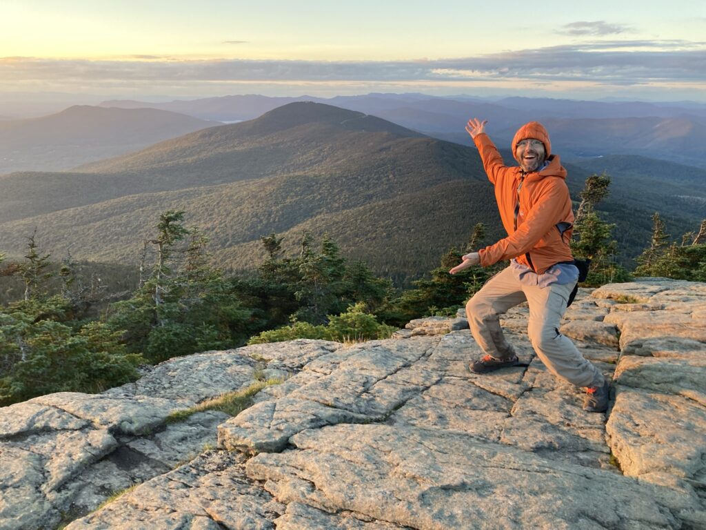
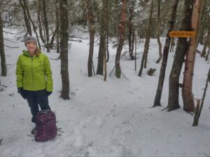
 The new year is the perfect time to set goals for the year ahead, and one of our favorite is hiking goals! If you’re looking for a challenge to get you outside and up in the mountains, the Vermont 5 is a great new year goal. It involves summiting all five of Vermont’s 4,000-foot peaks. GMC’s Visitor Information Specialists put together some of their favorite routes up and down Vermont’s iconic peaks, so you can learn how to hike the VT5. Be sure to check trail conditions and refresh on seasonal guidance before tackling these challenging peaks.
If you’ve never hiked a 4,000-footer, they can be challening. Consider working your way up with a few weeks of training and leveling up your hikes. Use the suggestions in this “Couch to Camel’s Hump” post from a few years back!
Already hiked these peaks? Consider trying a new-to-you route or completing them all again in a given month in 2026. Some folks even try to hike them all in a day or weekend!
Proper preparation and weather research is critical, as is carrying the Ten Essentials. Check the latest mountain weather forecasts on mountain-forecast.com and National Weather Service. In general, we recommend waiting until summer to tackle these peaks!
New: GMC’s Vermont Five sticker, designed by Montpelier designer Dana-Dwinell Yardley, is the perfect way to commemorate the VT5 challenge.
Jump To:
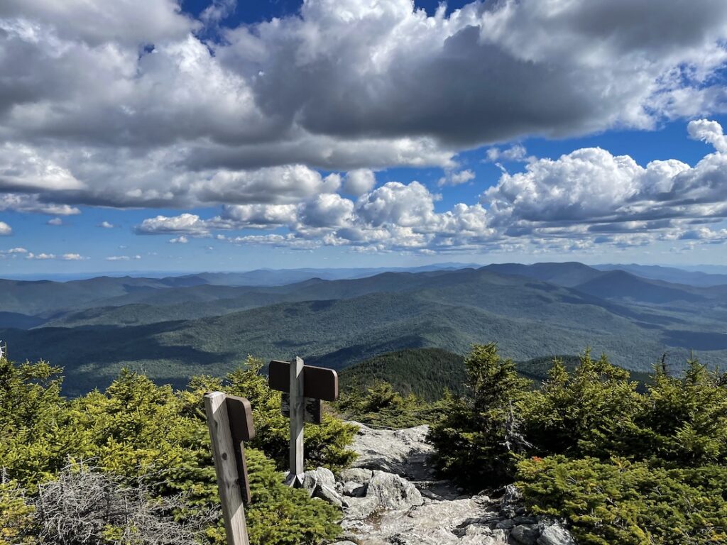
How to Hike the VT5: Killington Peak, 4235′

Killington Peak is Vermont’s southernmost four-thousand-footer, and is the second-highest peak in Vermont. Its slopes are home to Killington Ski Area, nicknamed “Beast of the East.” The Long Trail doesn’t pass directly over Killington’s summit, but can be accessed by a challenging 0.25 mile spur trail from Cooper Lodge.
Long Trail South >> Killington Summit >> Sherburne Pass Loop
15 miles round trip; 3,860 feet of elevation gain
For a long, challenging hike, take the Long Trail South from Route 4 to Cooper Lodge, then take the spur trail to the summit. Head back the way you came to the Long Trail, then pick up Sherburne Pass Trail (tackle Pico Peak via a spur trail, 3,957 ft), continue to Deer Leap Trail (across Route 4), then pick up the Appalachian Trail South back to the Long Trail South to finish the loop.
Bucklin Trail >> Killington Peak
7.4 miles, 2,480 feet elevation gain
 For a shorter hike on one of the Long Trail’s side trails, park at the Bucklin Trailhead on Wheelerville Rd, and hike up the moderate Bucklin Trail to the Long Trail/Appalachian Trail South. At Cooper Lodge, take the spur trail to Killington Peak. Enjoy the views from the top of Killington, then return the same way.
How to Hike the VT5: Mount Abraham, 4,006 ft
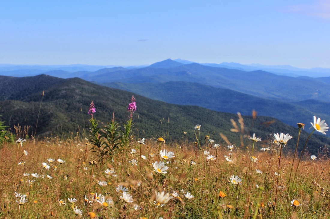
 Mount Abraham is Vermont’s shortest four-thousand-footer, but is by no means the least! It offers great panoramic views of New Hampshire, the Adirondacks and Lake Champlain, and the Green Mountains north and south. It is also home to a small area of rare alpine vegetation, so take care to walk only on the rocks at the summit. Please note: Lincoln Gap Road, a popular access point for Mount Abraham, is closed from October 15 to May 1 each year.
Long Trail North from Lincoln Gap
5.2 mi rt, 1,640 ft elevation gain
This moderate to challenging hike takes you directly to the summit of Mount Abraham. Start at the Long Trail parking lots at the top of Lincoln Gap Road. (the road is closed in winter). Hike moderately uphill past Battell Shelter. The last mile to the summit is the most strenuous, with rock scrambles and steeper terrain, but you are rewarded with 360-degree views, including Mt. Ellen and Camel’s Hump to the north, the White Mountains to the east, the Adirondacks to the west, and the southern Green Mountains to the south.
Battell Trail >> Long Trail North to summit
5.8 miles round trip; 2,600 feet of elevation gain
 Parking at Elder Hill Road, this moderate to strenuous side trail takes you to the summit of Mount Abraham. Take the blue-blazed Battell Trail 2 miles to its intersection with the white-blazed Long Trail, just south of Battell Shelter. Continue on the Long Trail North to the summit. The last mile of the trail on the Long Trail North section will include rocky scrambles and steeper terrain.
How to Hike the VT5: Mt. Ellen, 4,083′
 Tied with Camel’s Hump as the third-highest peak in Vermont, Mount Ellen is a viewless summit just south of the Sugarbush Mount Ellen ski area. Be sure to take in the views from the top of the ski hill on your way to the summit! You get beautiful views looking east toward the Adirondacks and the Green Mountains to the north.
Jerusalem Trail >> Long Trail South >> Battell Trail
10.5 miles; 3,230 ft. Elevation gain
 Tackle both Mount Ellen and Mount Abraham on this moderate to challenging hike. You will need to drop a car at one end or arrange for a shuttle. Drop your car at Battell Trail parking lot on Elder Hill Rd, and park your 2nd car at Jerusalem Trail parking area on Jim Dwire Rd. Hike up the Jerusalem Trail to the Long Trail South, passing some lookouts and the Sugarbush Mount Ellen Ski Area before summitting Mt. Ellen. Continue on the Monroe Skyline ridgeline to Mount Abraham, passing Cutts Peak, Nancy Hanks Peak, and Lincoln Peak (with views!). Descend down Mt. Abraham on the Long Trail South to Battell Trail, returning to your car. Note: the descent off Mt. Abraham will be steep and rocky, and the most challenging part of the hike.
Jerusalem Trail >> Long Trail South to Mount Ellen
8.4 miles round trip, 2,483 feet of elevation gain
If you’re looking for an out-and-back on Mount Ellen, the Jerusalem Trail is perfect. Park at the pulloff on Jim Dwire Rd, and take the blue-blazed Jerusalem Trail up to the Long Trail. Catch the Long Trail South to summit Mount Ellen, then return the way you came. Mount Ellen is viewless, but there are great views from the top of the Sugarbush Ski Area just before the summit!
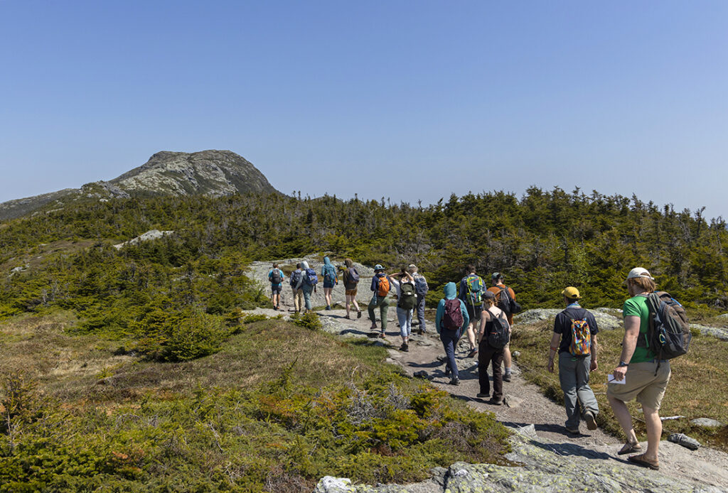
How to Hike the VT5: Camel’s Hump, 4,083 ft
Once called Couching Lion, Moziozagan, and Tawapodiiwajo, Camel’s Hump is an iconic peak along the spine of the Green Mountains. Camel’s Hump is home to rare alpine vegetation, so please follow white blazes and stay on the rocks, especially on the summit. If hiking up the Burrows/Forest City Trails, please note the town of Huntington is enforcing parking regulations on Camels Hump Road, including ticketing and towing of cars parked outside of the designated parking area. Please respect posted signage and if parking lots are full please find another hike or try again at another time.
Monroe Trail >> Long Trail South to Summit >> Alpine Trail >> Monroe Trail
6.6 miles round trip, 2,583 feet elevation gain
This challenging hike takes you up one of Vermont’s most recognizable peaks of the Green Mountains, with 360-degree views of the White Mountains, the Adirondacks and Lake Champlain, and the Green Mountains extending north and south. Take the blue-blazed Monroe Trail to the hut clearing, then Long Trail South to the summit. Catch the Alpine trail and visit the site of an airplane crash before connecting back with the Monroe Trail to return to your car.
 Forest City Trail >> LT North >> Burrows Trail
5.5 miles round trip, 2,446 ft elevation gain
This challenging hike takes you up the western side of Camels Hump, and gives great 360-degree views from the summit. From the Burrows parking lot, take Forest City Connector to the Forest City Trail to Long Trail North, summit the mountain, then continue on Long Trail North to the Burrows Trail to return to your car. The trail will include rocky scrambles up and down, some ledges, and beautiful views of the area.
Burrows Trail >> LT South >> Burrows Trail
 4.8 miles round trip, 2,183 feet elevation gain
Try this moderate hike for a shorter (yet still steep!) adventure up Camels Hump! Take the blue-blazed Burrows Trail to the hut clearing (2.1 mi), then take the Long Trail South to the summit. The Long Trail section will have some rocky scrambling and larger boulders to navigate, but it is only a short distance.
How to Hike the VT5: Mount Mansfield, 4,395 ft
 Mount Mansfield is Vermont’s northernmost four-thousand-footer and the tallest peak in the state, standing at 4,395 feet. Its distinctive ridgeline resembles a face, with the “Chin” being the highest point. Mount Mansfield is home to Vermont’s largest area of alpine vegetation, so please remain on the rocks and avoid stepping on vegetation.
Underhill State Park >> Maple Ridge Trail >> Long Trail North >> Summit >> Long Trail South >>Sunset Ridge Trail
8.8 miles, 2,700 feet elevation gain
This challenging loop trail will take you all along Mount Mansfield’s iconic ridgeline, from the Forehead to the Chin, with 360-degree views of Canada to the North, the White Mountains to the East, the Green Mountains to the South, and the Adirondack Mountains to the west. Take theEaglethe Eagle Pass trail to the CCC road in Underhill State Park, to Maple Ridge Trail. From Maple Ridge, connect with the Long Trail North at the Forehead, and continue on Long Trail North to the Chin. After summiting, backtrack to the Sunset Ridge Trail, enjoying unobstructed views of Lake Champlain and the Adirondacks on your hike down to Underhill State Park.
Long Trail South >> Chin
5.6 miles, 2850 feet elevation gain
For a more direct hike to the summit, the Long Trail South from Route 108 is one of GMC’s more popular routes. It can be done as an out-and-back, or you can create a loop with the Profanity Trail or Haselton Trail. From Route 108/Barnes Camp, take the Long Trail South over the boardwalk (take in stunning views of Smugglers Notch!), then cross Route 108 to being your ascent. Take a break at Taft Lodge before your last ascent to the Chin (expect some scrambling), where you will have 360-degree views of the Greens, Whites, and Adirondacks. Return the way you came, or continue on the ridgeline to either the Profanity Trail to Long Trail South or Haselton Trail (0.5 miles down the toll road).


Leave a Reply