

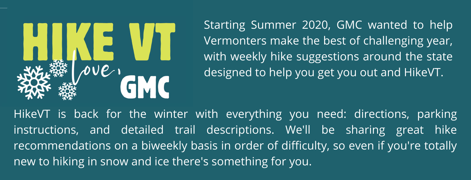
Let’s HikeVT! Although this week’s hikes aren’t 4000 footers, these options will give you same exhilarating adventure. Please take caution and be prepared with the proper gear before undertaking these routes.
- Belvidere Mountain, Eden
- Butler Lodge, Stevensville
- Burnt Rock, Fayston
- Baker Peak, Mount Tabor
Belvidere Mountain via the Long Trail, Eden – Difficult
» 5.6 mi round trip, approx. 2,223 ft elevation gain
Starting from the Eden’s Crossing trailhead, head north on the white-blazed Long Trail. The LT climbs steadily for 2.6 miles, when it reaches an intersection with the summit spur trail. If you see a sign for the Forester’s Trail, you’ve just missed the summit trail. Take the summit spur trail 0.2 miles to the top, which features a firetower you can climb for spectacular views of Northern Vermont and New Hampshire.
Driving Directions:
From Eden: Head north on VT-188 N from intersection with VT-100. Parking lot driveway will be on right just after starting descent from height of Eden Crossing.
From Belvidere/Jeffersonville: Head north on VT-109 N. Bear right on VT-118 S. Parking lot driveway will be on left .6 mi after passing Belvidere Pond.
Butler Lodge via Butler Lodge Trail, Underhill – Difficult
» 3.6 mi round trip, approx. 1,560 ft elevation gain
The trail to Butler Lodge climbs steadily, although with no particularly steep sections, making it a more moderate option than the others in this list. From the porch at the lodge, Lake Champlain and the Adirondacks can be seen in the distance to the west, while the cliffs below Mt. Mansfield’s forehead loom just above. It is possible to make this hike a loop by taking the Wallace Cutoff to the Long Trail and heading south 2.6 mi. to the Nebraska Notch Trail, which descends 1.5 mi. back to the parking lot.
Driving Directions:
From Underhill Center, take Pleasant Valley Rd. for 0.3 mi. and turn right onto Stevensville Rd. Pass the entrance to Maple Leaf Farm on the left at 1.5 mi. Just beyond the turn to Maple Leaf Farm, there is a small parking lot for cross-country skiers. Continue uphill on the often icy, narrow (one lane) road all the way to the end and the main parking lot, which is plowed in the winter. This is a popular area and on weekends the lot may be full. Additional parking is available in a few plowed turnouts along the road.
Burnt Rock via Hedgehog Brook Trail, Fayston – Difficult
» 5.2 mi round trip, approx. 2,010 ft elevation gain
This trail is located entirely on private land. Hikers are allowed to use the trail thanks to the generosity of the landowners, so please stay on the trail in order to keep the trail open for future use. The trail descends from the parking lot to cross Hedgehog Brook over stepping-stones. The trail then climbs the slope and contours north to a woods road. Turn left and follow the woods road uphill. Climb west steadily to the ridge where you will reach the intersection with the Long Trail. Turn right to follow the Long Trail north for 0.6 mi to the open summit ledges of Burnt Rock.
Driving Directions:
The north Fayston road leads west from Vt. 100, 4.5 mi. north of Vt. 17 in Waitsfield and 8.0 mi. south of U.S. 2 in Waterbury. Follow the North Fayston Road; at 2.5 mi. this road turns to dirt; at 4.0 mi. stay straight at a four-way offset intersection, continuing on Big Basin road to the trailhead (5.0 mi.) at a heavy metal gate, near a parking lot.
Baker Peak via Lake Trail to Baker Peak Trail, Mount Tabor – Difficult
» 5.8 mi round trip, approx. 2,200 ft elevation gain
At 2,850 ft. (869 m.), Baker Peak may not be the highest of the Green Mountains, but its near-panoramic views make the climb to the summit well worth it. This route begins on the Lake Trail, which is blue blazed and follows an old road. The Lake Trail traverses into the Big Branch Wilderness Area, so blazes become sparse. After 1.9 miles, turn left on Baker Peak Trail to reach the Long Trail. Turn left again to follow the Long Trail 0.1 mi north to the summit spur to Baker Peak.
Driving Directions:
To reach the trailhead, turn off U.S. 7 east onto South end Rd. in the Town of Mt. Tabor. This intersection is 2.0 mi. south of the crossroad from Danby Village to Mt. Tabor Village, and is 2.5 mi. north of North Dorset. Follow the paved South End Rd. 0.5 mi. to a U.S. Forest Service trailhead parking lot on the left, usually plowed in winter.
Map it*
*Please note that google maps incorrectly labeled the trail as Griffith Lake Trail. This is the location of the Lake Trail.
Back to top ↑
Maps:
Places to rent snowshoes:
- Umiak Outdoor Outfitters, Stowe
- Outdoor Gear Exchange, Burlington
- First Stop Board Barn, Killington
- The Mountain Goat, Manchester
- VT Libraries with Snowshoes through Rise VT
Questions? Our visitor center staff is here to assist you. Call (802) 244-7037 or email [email protected].


