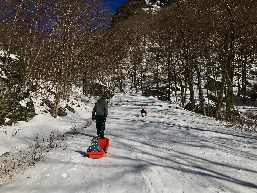
Let’s HikeVT! This week we’re featuring easy winter hikes throughout the state that can help get you started with winter hiking. Read up on proper layering, footwear, fuel, equipment, and safety planning with our everything winter hiking guide before you go.
- Smuggler’s Notch, Route 108, Stowe
- Beane Trail to Birch Glen Shelter, Huntington
- Deer Leap Trail, Killington
- Clarendon Gorge to Airport Lookout, Shrewsbury
Smuggler’s Notch via Route 108, Stowe – EASY
» 3.0 mi round trip, approx. 400 ft elevation gain
Closed to vehicle traffic in the winter, Route 108 through Smuggler’s Notch provides a beautiful and easy snowshoe or ski option. Most people choose the Visitor Center at the height of land as their destination, but those feeling more adventurous can extend the hike up to Sterling Pond.
For Parking, the plowed Barnes Camp lot is free to park for up to 90-minutes, due to Stowe Mountain Resort pay-to-park requirements and traffic issues at the resort and along Route 108. Free, unlimited parking is also available at the Toll House or at the Cross Country Center (both on Route 108) with shuttle bus or Green Mountain Transit bus transportation up to Barnes Camp (and back to your car).
Driving Directions:
From Stowe: From the intersection of VT-100 and VT-108 at the center of town, head north on VT-108 for 7.7 mi. Barnes Camp will be your next right after passing under the Stowe Mountain Resort cross-street gondola.
Beane Trail to Birch Glen Shelter, Huntington – EASY
» 2.8 mi round trip, approx. 600 ft elevation gain
The Beane Trail is a favorite of 5-year old Lincoln, who enjoys hiking it with his dad Jason (GMC’s Director of Finance). It’s also a great option for first time backpackers! From the parking area, walk past the iron gate and follow a farm road through open woods until an intersection where the Beane Trail transitions to a more traditional hiking trail. From here, the Beane Trail ascends at a gentle, steady pitch to Birch Glen Shelter.
Driving Directions to Beane Trail parking lot:
From Bristol: Head north on VT-116 N/VT-17 E. At split, turn right on VT-17 E. After 6.9 mi, turn left on Gore Rd. After 2.9 mi, turn right on Carse Rd. At Moody Rd, take a quick right then quick left to stay on Carse Rd. After passing a large farm on your right, park by an iron gate on your left (do not block gate).
From Waitsfield: Follow VT-17 W up and over Appalachian Gap. 2.7 mi after height of gap, turn right on Gore Rd. After 2.9 mi, turn right on Carse Rd. At Moody Rd, take a quick right then quick left to stay on Carse Rd. After passing a large farm on your right, park by an iron gate on your left (do not block gate).
Deer Leap Trail, Killington – EASY
» 2 mi round trip, approx. 492 ft elevation gain
The Deer Leap Trail is a relatively short but rugged hike to the top of a rock outcrop with impressive views of the Coolidge Range and Sherburne Pass. The trail starts on the north side of US 4, at the east end of the Inn at Long Trail parking lot. Climb steadily for .5 miles until you intersect with the Appalachian Trail. Turn left and follow the AT for about 200’, at which point the Deer Leap Trail turns left and climbs .4 mi to the Overlook Spur, which leads .2 mi to the lookout.
To extend your hike, try the 3.5 mi DEER LEAP LOOP! From the Overlook Spur, continue .9 mi on the Deer Leap until you intersect with the AT again. Turn right (AT north) and follow the AT .8 mi back to the original intersection. Turn right on the Deer Leap Trail to return to the parking lot.
NOTE: There are a few parking spots for hikers at the Inn at Long Trail, but plenty of room at the Sherburne Pass Trail across the street.
Driving Directions:
Via Public Transit: The “Rutland Killington Commuter” bus route of the Marble Valley Regional Transit District (aka The Bus) stops at the Inn at Long Trail across the street from the Sherburne Pass Trail parking lot. See thebus.com for route schedules and times, which are subject to change.
From Rutland: From the US 7/US 4 intersection, drive east on US 4 until the highest point of Sherburne Pass. Parking lot will be on your right across from The Inn at Long Trail.
From Killington/Woodstock: Drive west on US 4 until the highest point of Sherburne Pass. Parking lot will be on your left across from The Inn at Long Trail.
Clarendon Gorge to Airport Lookout, Shrewsbury – EASY
» 2 mi round trip, approx. 450’ ft elevation gain
Ascend south on the Long Trail for a few hundred yards to the suspension bridge to a cross the impressive Clarendon Gorge, which may form interesting ice sculptures in the winter. Continue up the ridge to a viewpoint west across the valley. Return the way you came.
Driving Directions:
The parking lot for the Long Trail/Appalachian Trail is on Vt. 103, 2.4 mi. east of US 7 in Clarendon and 6.0 mi. west of Vt. 155 in east Wallingford. The parking area may not be plowed in the event of deep snow.
Maps:
Places to rent snowshoes:
- Umiak Outdoor Outfitters, Stowe
- Outdoor Gear Exchange, Burlington
- First Stop Board Barn, Killington
- The Mountain Goat, Manchester
Questions? Our visitor center staff is here to assist you. Call (802) 244-7037 or email [email protected].


