This article was written by Rich Holschuh and previously appeared in the Fall 2019 Long Trail News. It was previously posted here on October 17, 2019.

As Europeans settled on the continent and early pioneers explored, they often gave places new names commemorating the Founding Fathers and other important Americans… [Indigenous people] have viewed such commemorative names as inappropriate: humans are too small, too fleeting and insignificant to have places named for them. The land is eternal; it owns us, we do not own it.
—Doug Herman, Denali and America’s Long History of Using (or Not Using) Indian Names
It feels fitting that the oldest long-distance hiking trail in the United States traverses the Green Mountains, which, at one billion years of age, are among the oldest mountains in North America. Of course, age is relative. We think of the Long Trail as old: it was finished in 1930. We think of Vermont as an old state: it had been settled for about 150 years when the trail was completed.
But the time since the settling of Vermont, and the time since completion of the Long Trail, are short compared with the tenure of the native Algonquian-speaking people—primarily Abenaki—who were forced aside when settlers, primarily British, flooded in after the last so-called French and Indian War. The newcomers colonized the landscape in a startlingly rapid wave. During the preceding wars the Abenaki had aligned with New France to the north, so when the British won, they fancied the territory that eventually became Vermont a clean slate, ready for new names.
The settlers applied their values with a broad, deliberate brush in a sociopolitical process known as displacement and assertion. These new Vermonters, as they came to call themselves, followed the geographic naming conventions of their forebears. They chose Old or New English localities, notable individuals, and wealthy patrons to supply labels for landmarks in this unfamiliar territory. The new names were abstractions that had nothing to do with the features themselves, but became referents simply by association.
While hiking the Long Trail, few of us ponder the ideological motives for these relatively recent monikers, but the ancient skyline of the Green Mountains has been known intimately for millennia. We still recall some original names, but we have forgotten many others.
A guiding principle in Wabanaki understanding is that the stories themselves, being alive, remember. While we may not recall the original names, we can reconnect to the knowledge of our mountain relatives when we nurture the proper relationships. The original names derive from those relationships and from the features themselves, a direct connection between the People and the Land—for they are the same.
In that light, let’s take a look at some of these mountain names and their layered stories, walking sowanaki li pebonki—from south to north.
Just south of the border looms the tallest peak in Massachusetts, once referred to as Grand Hoosuc or Saddleback, and since the early 1800s as Greylock. Although the origin of the current name is debated, majority opinion asserts that it is in remembrance of Wawanolewat, an honored war chief of the Abenaki who was known as Gray Lock. He oversaw a running war with the colonists in western New England for decades, never surrendering, and living to a great age.
Gray Lock operated from his base at the village of Mazipskoik at Missisquoi Bay, although he originally hailed from Woronoco (near Westfield, Mass.). Wawanolewat (which means “he habitually fools the others”) was born with a shock of grey hair, and this trait also suggests the clouds that often wreath the top of the mountain. Naming a mountain after an individual is a Western convention, but in a surprising cultural twist of memorializing a foe, Greylock has persisted.
Traveling north into Vermont, the trail leads to Glastenbury Mountain in the unincorporated town of the same name. Glastenbury seems to have been named by grantor Gov. Benning Wentworth of New Hampshire in 1761 for Glastonbury, Somerset, in England, in a series of transposed colonial references. In corroboration, the next township east (also unincorporated) was named Somerset.
Vermont folklore authority Joe Citro has said that Glastenbury was known by the native people as “the place where four winds meet.” This claim seems unsubstantiated, a part of the accretion of legend around an area that has long sustained stories of mysterious phenomena and unexplained disappearances. There is no surviving name from the original language, which in this case is likely to have been Mahican, an Algonquian dialect closely related to Abenaki.
Moving on to better-documented territory, the highest peak in southern Vermont looms ahead at Stratton Mountain, whose inaccessibility inspired James P. Taylor to conceive of the Long Trail in 1910. It is unknown where Gov. Wentworth borrowed the name Stratton when he chartered the town of Stratton. But the mountain was known early on as Manicknung, said to translate from the Mahican language as the “place where the mountain heaps up” and, alternatively, “home of the bear.”
The latter is pure marketing spin, part of the not uncommon practice of romanticizing (and inventing) native heritage. It is not difficult to consult a dictionary or native speaker to avoid such absurdities. It is also worth noting the strong homophony of Manicknung with New Hampshire’s Monadnock to the east—”the mountain that stands alone” or “the separate mountain,” which could easily be another way of saying “where the mountain heaps up.”
The next height with claims to an indigenous name is Pico, next to Killington. Conventional wisdom states that it may be derived from the Abenaki word for pass or opening, since it faces Sherburne Pass just to the north. While there is some similarity to the Abenaki roots for “open” and “cross,” this seems like a stretch. However, there is a specific Abenaki term for a mountain pass and it is “Pasadena,” which shows up in California, freely appropriated for its euphonious sound. Go figure. In a bizarre twist of geo-linguistic justice, it is more likely the name Pico is a direct application of the Spanish term for “peak.”
Skipping Mounts Abraham and Ellen (with their original toponyms unrecorded), we ascend Camel’s Hump, whose striking profile has made a strong impression on observers for millennia. Samuel de Champlain’s “Le Lion Couchant” (the resting lion) became Ira Allen’s “Camel’s Rump,” which evolved into the more mellifluous Camel’s Hump, still a rather exotic appellation.
The Abenaki knew this place as Tawapodiiwajo, meaning “place to sit in mountain,” or “saddle mountain,” or “mountain seat.” This makes perfect sense on a titanic scale when it is understood that the giant culture hero Gluskabe used the mountain as his personal seat in some traditional stories. Another Abenaki cognate for the peak, akin to the later Camel’s Hump moniker, is “Moziozagan” for “moose’s shoulder,” or “moose’s hump.”
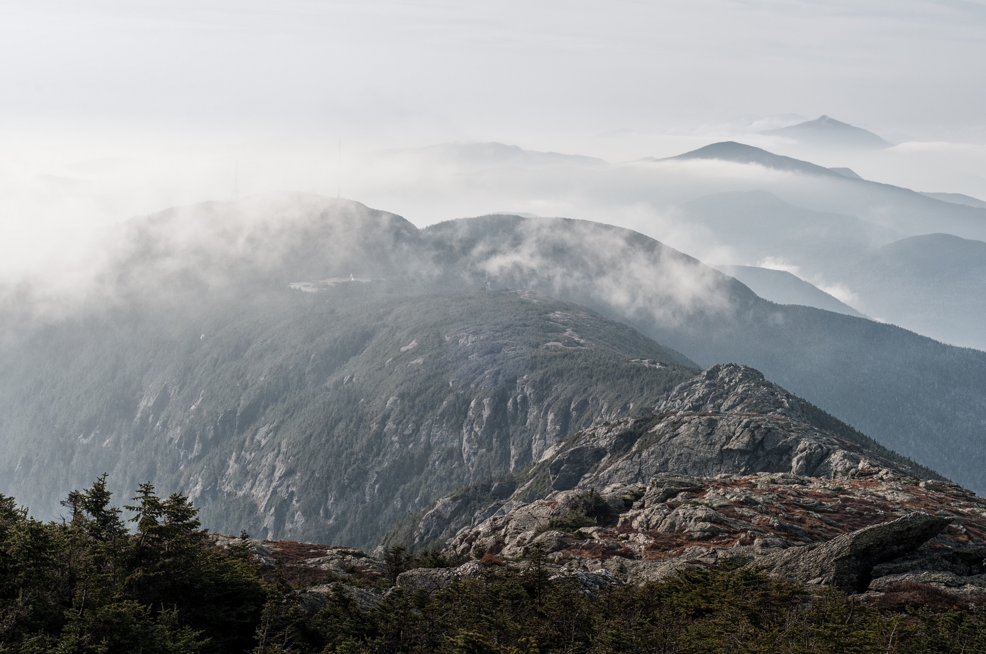
Continuing north, the Green Mountain’s loftiest peak of Mount Mansfield rises to 4,393 feet. Though some claim it memorializes a previous home in Connecticut, the now-dissolved namesake town appears simply to have been another tribute by New Hampshire Gov. Wentworth to a buddy back home in England, Lord Mansfield. Today’s fancied human profile was envisioned quite differently through its original referent as Mozdebiwajo, or Moosehead Mountain, the result of the mighty Gluskabe’s pursuit of an equally great beast, now turned to stone.
Finally, at the border with Quebec rises Jay Peak, granted to and named for the first Chief Justice of the United States for his help making Vermont the 14th state. Jay Peak is in the Missisquoi River watershed, which flows west to Lake Champlain and embraces that same village—Mazipskoik—where Wawanolewat, Chief Gray Lock, sheltered during his long and storied career. On a clear day one can see the lake from the mountaintop. One old Quebecois source has stated that they knew it as Gwenaden—Long Mountain, a fitting end to the Long Trail.
And so the stories continue.
 Rich Holschuh is deeply invested in Wantastegok—known to most today as Brattleboro in southern Vermont—the place where he has set roots. He serves on the Vermont Commission for Native American Affairs and as a public liaison for the Elnu Abenaki Tribe, representing with governmental agencies and other entities. Working with the contemporary Abenaki community, Rich partners with others to further their interests, increase awareness, and rebuild connections. His work as an independent historic and cultural researcher—expressed through writing and photography—draws upon indigenous history, linguistics, geography, and cultural practice to explore and share other ways of seeing and being in relationship with place.


Leave a Reply