

The foliage has already peaked in most of Central Vermont, but there’s still time to get out there and see the colors. Here are a couple of suggested day hikes from The Walker’s Guide to Vermont: Rambles for Half an Hour or Half a Day.
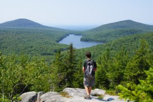 Owl’s Head Mountain, Groton State Forest
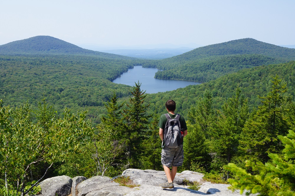
Although not high, this mountain with its rocky summit offers outstanding panoramic views. A 1.9-mi. foot trail leads to the summit, while a 1.0-mi. auto road, open to cars only in summer, leads to a parking area and summit trail 0.25 mi. from the top. A drive up the road and short walk to the summit make a perfect hike for children. Alternatively, a loop a little longer than 4.5 mi. may be hiked using the trail described, the auto road, a 1.5-mi. walk on Vt. 232 and the trailhead access road.
Distance: 1.9 mi.
To the Trail: This blue-blazed trail begins on the road to the Osmore Pond picnic shelter. From the entrance to the New Discovery Campground on Vt. 232, continue south a short distance to the second left turn. Follow the dirt road east, bearing right at a fork after 0.25 mi., before reaching the trailhead on the right, about 0.5 mi. from Vt. 232. Limited roadside parking is available.
Description: From the access road (0.0 mi.), the trail follows an old road that links the picnic shelter with the maintenance area to the north and turns left (0.1 mi.) into the woods just before the maintenance area. The trail then follows a level path under a power line (0.3 mi.) before starting a gentle ascent. Climbing steadily, then more steeply to attain the ridgeline (1.2 mi.), the trail passes over a rock ledge, descends west into a small dip, then ascends to the Owl’s Head picnic area parking lot (1.6 mi.). The trail climbs rock stairs on steep terrain to the open summit (1,958 ft.)(1.9 mi.) with its airy stone shelter. From the summit, there are good views of Lake Groton, Kettle Pond, the White Mountains and the Green Mountains. No camping is allowed on Owl’s Head.
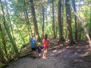 Mount Philo State Park, Charlotte
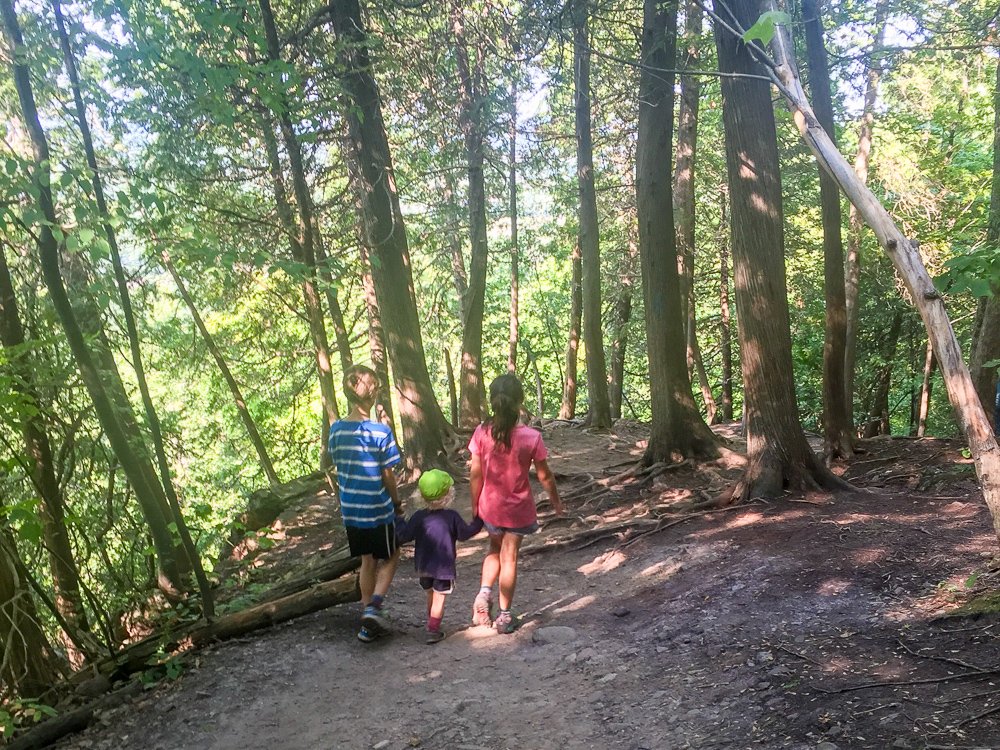
Occupying 168 acres in the Town of Charlotte, Mount Philo State Park was established in 1924 and is the oldest park in the state system. A limited number of campsites are available atop the mountain and on its north side. Some very fine views of the Adirondacks and nearly the entire length of Lake Champlain can be seen from the north- and west-ledge lookouts of this 980-ft. mountain (USGS Mount Philo). A park fee is charged in season. For information: www.vtstateparks.com.
To the Trail: From the junction of U.S. 7 and Ferry Road, follow U.S. 7 south 3.0 mi. to a junction on the left with State Park Road. The same point may be reached from the south by following U.S. 7 north about 7.5 mi. from its junction with Vt. 22A near Vergennes. Turn east on State Park Road and continue 0.6 mi. to the park entrance at a four-way intersection. A paved state park road ascends to the summit area.
Description: A blue-blazed trail starts at a bulletin board next to the parking lot (0.0 mi.) and ascends the northwest side of the mountain. After crossing a park road (0.4 mi.), the trail soon reaches a junction at the base of a rocky outcrop.
Junction: Here, a blue-blazed trail departs right and skirts an interesting area along the base of the cliffs, leading south and eventually ending on the park access road (0.5 mi.). From this point it is 0.7 mi. downhill along the road back to the park entrance or about 0.3 mi. up the road to the contact station atop the mountain.
Bearing left at the junction, the main trail climbs to the top of the ledges and soon arrives at a second junction (0.5 mi.), where a blue-blazed trail departs left and leads 0.25 mi. to a camping area low on the mountain’s north flank. The main trail continues straight ahead and reaches the first of several outstanding vistas atop the mountain (0.6 mi.). Near the top of the cliff, the blazes soon end and the trail skirts the summit picnic area before following an old carriage road through the woods (0.7 mi.). The trail ends on the summit access road on the western side of the mountain (1.0 mi.), a short distance below the contact station.
From 1924 to 1926, the summit of Mount Philo became a fire lookout station. From 1938 to 1940, the CCC constructed a steel tower on the mountain, which remained an active outpost until the 1950s. During the 1970s, the tower was removed.


Hi, Kristin! This is a great inspiration for hikers who search for new trails. Trails themselves sounds amazing. You did a really good job paying attention to details, I hope it will motivate more people to give it a try. I was wondering, what is the best time of year to go on this hikes?